Editor’s note: Article was updated at 11:12 AM to include details from PAGASA’s 11:00 AM Tropical Cyclone Bulletin.
Tropical Depression Ester has exited the Philippine Area of Responsibility (PAR), the PAGASA said.
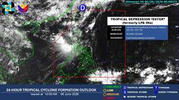
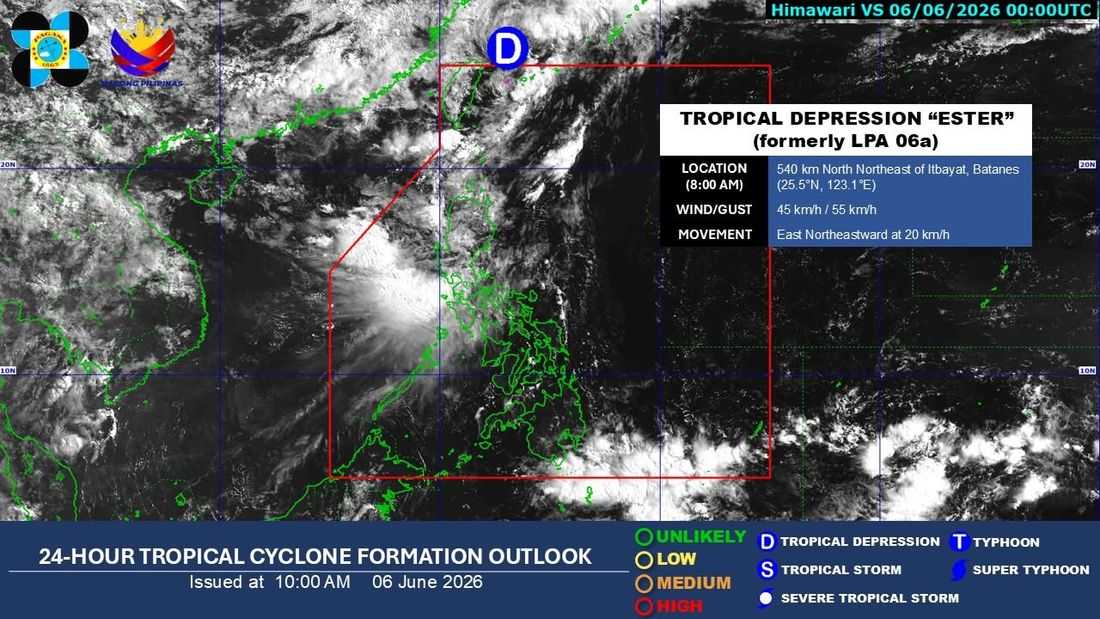
As of 11:00 AM on Saturday, June 6, the center of the tropical depression was located at 550 km north northeast of Itbayat, Batanes. It has maximum sustained winds of 45 km/h and gustiness of up to 55 km/h.
It is currently moving east northeastward at 20 km/h.
Ester is forecast to move generally northeastward over the East China Sea while maintaining its strength.
“Ester is expected to gradually intensify as it moves toward southern Japan,” the PAGASA said.
In a 6:00 AM update, the state weather bureau said there are no Tropical Cyclone Wind Signals (TCWS) hoisted.
Ester will remain a tropical depression in the next 12 hours, before transitioning into a post-tropical low on Sunday morning, June 7.
Unless re-entry occurs, the state weather bureau noted that this will be the final bulletin for Ester.