Tropical Storm Wilma has weakened into a Low Pressure Area (LPA), according to the PAGASA in its 11 a.m. bulletin on Sunday, December 7.
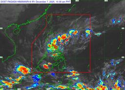
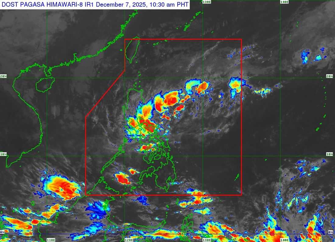
At 10 a.m., the center of the LPA—formerly Wilma—was located in the vicinity of Cataingan, Masbate, with a central pressure of 1008 hPa. It is moving westward at a speed of 15 kilometers per hour. No Tropical Cyclone Wind Signals are currently hoisted.
Despite the downgrading, PAGASA warned that hazardous weather conditions will persist due to the LPA and the shear line. Residents are advised to refer to Weather Advisory No. 16 for the latest heavy rainfall outlook.
PAGASA also warned of strong to gale-force gusts brought by the Northeast Monsoon, particularly in coastal and upland areas. These conditions are expected to affect most parts of Luzon, the Visayas, and the Zamboanga Peninsula on Sunday, and most of Luzon from Monday to Tuesday.
A Gale Warning remains in effect over the northern and eastern seaboards of Luzon. Sea conditions are expected to be very rough, with waves reaching up to 5.0 meters along the seaboards of mainland Cagayan, Isabela, and Aurora, and the northern and eastern seaboards of Polillo Islands and Camarines Norte. Waves of up to 4.5 meters may affect the eastern seaboards of Batanes and the Babuyan Islands, northern mainland Quezon, Catanduanes, and northern Camarines Sur.
Rough to moderate seas are forecast in several other coastal areas, including parts of Ilocos, Bicol, Eastern Visayas, and Mindanao. PAGASA advised all mariners to remain in port or seek shelter as soon as possible, and warned small vessels against venturing out to sea under these conditions.
PAGASA said the LPA will continue moving generally westward or west-southwestward, traversing Southern Luzon and the Visayas through Monday. Once it enters the West Philippine Sea, re-development into a tropical depression is possible.
The agency urged the public and local disaster risk reduction and management offices to remain vigilant and take necessary measures to protect life and property. Residents in high-risk areas were advised to follow evacuation orders and closely monitor PAGASA bulletins for updates on rainfall, thunderstorms, and other severe weather conditions.