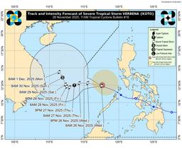
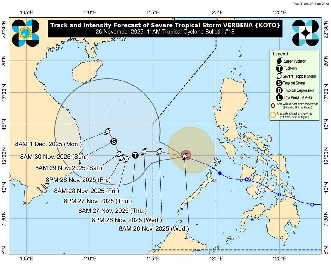
Tropical Storm Verbena has intensified into a severe tropical storm as it traverses the West Philippine Sea, state weather bureau PAGASA said Wednesday, November 26.
As of 10:00 a.m., the center of Severe Tropical Storm Verbena was estimated at 375 kilometers west of Coron, Palawan, or 310 kilometers east-northeast of Pag-asa Island, Kalayaan, Palawan (12.4°N, 116.8°E).
The storm now packs maximum sustained winds of 95 kph near the center, with gusts of up to 115 kph and a central pressure of 990 hPa.
Verbena is moving westward at 35 kph, with strong to storm-force winds extending up to 280 kilometers from its center.
Under TCWS No. 1, the Kalayaan Islands may experience strong winds ranging from 39 to 61 kph within 36 hours.
Aside from Verbena’s direct effects, the northeast monsoon is also contributing to gusty conditions in many parts of Luzon and Palawan.
For today, strong to gale-force winds are possible over the Ilocos Region, Cordillera Administrative Region, Cagayan Valley, Central Luzon, Metro Manila, CALABARZON, Occidental Mindoro, and Palawan.
On Thursday, Batanes, Cagayan, Apayao, Abra, Ilocos Norte, Ilocos Sur, Zambales, Bataan, Lubang Island, and Palawan may continue to experience gusty winds.
By Friday, windy conditions are likely over Batanes, Cagayan, Apayao, Abra, Ilocos Norte, and Ilocos Sur.
PAGASA also maintained a Gale Warning over the seaboards of Northern Luzon and the western seaboard of Southern Luzon, citing hazardous marine conditions.
For the next 24 hours, seas could be very rough with wave heights of up to 6.0 meters over the seaboards of Batanes, Babuyan Islands, Ilocos Norte, and Ilocos Sur; up to 5.0 meters over mainland Cagayan and the Kalayaan Islands; and up to 4.5 meters over the remaining Ilocos seaboards.
Rough to moderate seas, ranging from 2.0 to 4.0 meters, are also expected across parts of Isabela, Zambales, Aurora, Quezon, Bataan, Mindoro, Calamian Islands, Bicol Region, Eastern Visayas, Caraga, and Davao Oriental.
On its current track, Verbena is forecast to pass north of the Kalayaan Islands and exit the Philippine Area of Responsibility late tonight or early Thursday.
The storm is likely to intensify into a typhoon by Thursday due to favorable conditions, before weakening over the weekend as the northeast monsoon strengthens.
PAGASA warned that heavy rain and strong winds may still affect areas outside the projected track and advised the public to monitor official bulletins.