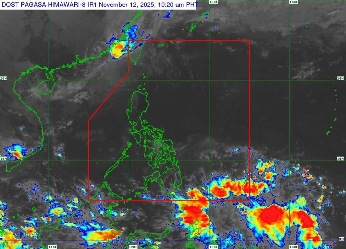
Tropical storm Uwan (international name Fung-Wong) continues to weaken while moving slowly northeastward towards Taiwan, said the state weather bureau.
As of its 11:00 a.m. bulletin, the Philippine Atmospheric, Geophysical and Astronomical Services Administration (PAGASA) said that the center of Tropical Storm Uwan was estimated to be 265 kilometers west-northwest of Itbayat, Batanes, outside the Philippine Area of Responsibility (PAR).
Uwan carries maximum sustained winds of 85 km/hr near the center, with a gustiness of up to 105 km/hr.
Tropical Cyclone Wind Signal (TCWS) No. 1 is in effect in the following areas, which are subject to strong winds at 39 to 61 km/hr speeds and a minimal to minor potential impact:
LUZON
-
Batanes
-
The northwestern portion of Babuyan Islands (Calayan Is., Dalupiri Is.)
“UWAN is forecast to move generally northeastward, re-entering the Philippine Area of Responsibility (PAR) this afternoon before making landfall over the Southern Taiwan by this evening. It will then emerge over the eastern coastal waters of Taiwan towards Ryukyu Islands tomorrow (13 November),” PAGASA announced.
The tropical storm will weaken further due to unfavorable conditions and land interaction over Taiwan, until it is reduced to a remnant low by Friday (November 14).