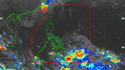
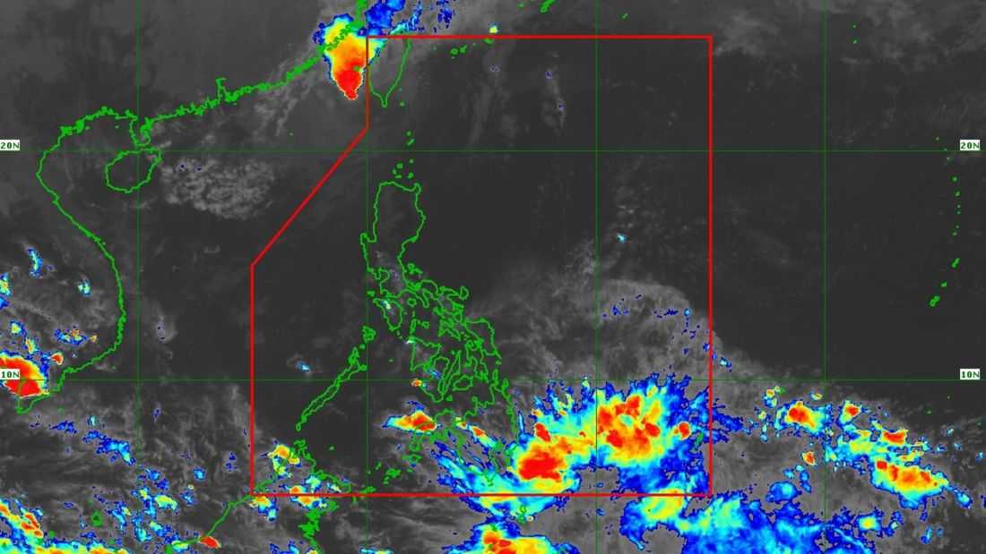
Tropical Storm Uwan has re-entered the Philippine Area of Responsibility (PAR) and is now re-entering Southern Taiwan, the PAGASA said.
As of 5:00 PM on Wednesday, November 12, the state weather bureau said that the center of Tropical Storm Uwan was estimated to be 210 km northwest of Itbayat, Batanes. It has maximum sustained winds of 75 km/h near the center, gustiness of up to 90 km/h, and a central pressure of 996 hPa.
It is currently moving northeastward at 10 km/h.
Meanwhile, Tropical Cyclone Wind Signal (TCWS) No. 1 is raised at Batanes.
According to PAGASA, Uwan is forecast to move generally northeastward until it makes landfall over Southern Taiwan on Wednesday evening. It will then emerge over the coastal waters of Taiwan towards the Ryukyu Islands on Thursday, November 13.
“UWAN will continue to weaken due to unfavorable conditions and land interaction upon making landfall in Taiwan, until it eventually weakens into a remnant low,” the PAGASA said.