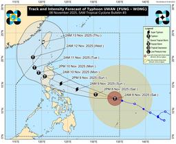
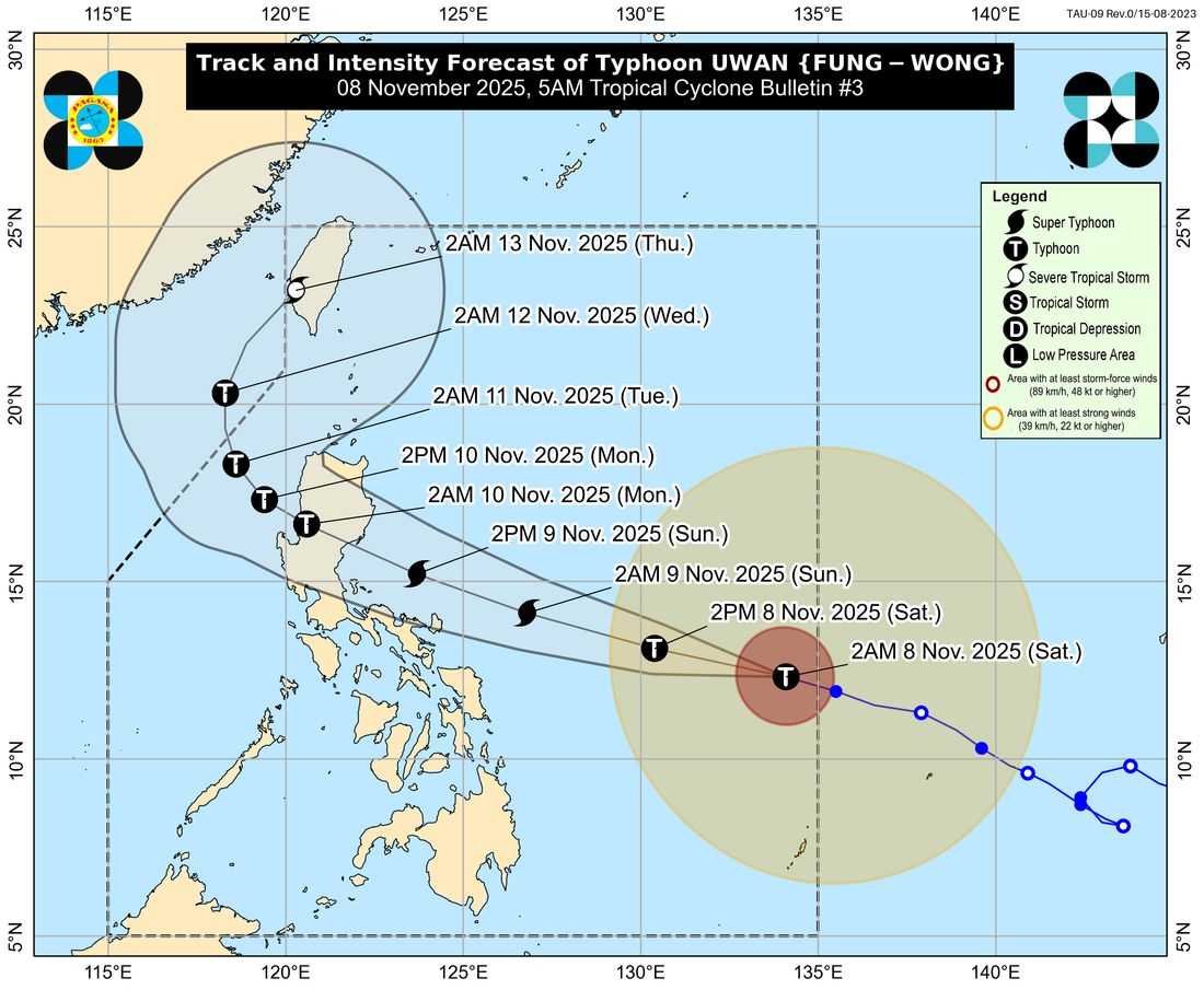
Typhoon “Uwan” has further intensified as it continues to move west-northwestward over the sea east of Eastern Visayas, the Philippine Atmospheric, Geophysical and Astronomical Services Administration (PAGASA) reported early Saturday morning.
According to PAGASA’s 5:00 a.m. bulletin, Uwan is expected to bring widespread rains, strong winds, and dangerous coastal conditions over several parts of the country as it continues to gain strength.
The agency has warned that Uwan may reach the super typhoon category by tonight or early Sunday, potentially making landfall over the southern portion of Isabela or the northern portion of Aurora by late Sunday evening or early Monday morning.
Areas under Tropical Cyclone Wind Signals (TCWS) No. 1 and 2 may experience strong to gale-force winds, while the highest possible alert level—Signal No. 5—may be raised as Uwan continues to intensify.
PAGASA cautioned that local winds may be stronger in coastal and upland areas and weaker in sheltered zones.
Occasional gusty conditions reaching gale-force strength are also expected in Palawan, Visayas, and Mindanao today through Sunday, extending to Luzon and Visayas on Monday.
Heavy Rainfall and Storm Surges
The agency reiterated the risk of life-threatening and damaging storm surges exceeding 3 meters within the next 48 hours, especially in low-lying and exposed coastal communities of:
-
Isabela
-
Aurora
-
Quezon (including Polillo Islands)
-
Camarines Norte
-
Camarines Sur
-
Catanduanes
-
Albay
-
Sorsogon
-
Northern Samar
-
Eastern Samar
Residents in these areas are urged to follow local disaster management advisories and move to higher ground when necessary.
A Gale Warning remains in effect over the northern and eastern seaboards of Luzon and the eastern seaboard of Visayas. Sea conditions are forecast to become very rough to extremely rough, with wave heights reaching up to 14 meters in some coastal waters.
PAGASA strongly advised all vessels—especially small boats and motorbancas—not to venture out to sea and for mariners already at sea to seek shelter immediately.
Track and Outlook
Uwan is forecast to continue its west-northwestward movement until Monday before turning north-northwestward by Tuesday, November 11. After making landfall over Northern Luzon, it is expected to traverse mountainous terrain and exit into the West Philippine Sea by Monday afternoon.
While weakening is expected after landfall, Uwan will likely remain a typhoon as it crosses Northern Luzon and re-emerges over open waters.
PAGASA emphasized that severe weather conditions may still affect areas outside the forecast track, urging the public to stay updated through official advisories and to take all necessary precautions.
The next bulletin will be issued at 11:00 AM today.