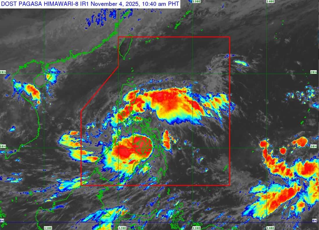
Typhoon TinoPH has slightly weakened but continues to batter the Western Visayas and Negros Island Region, according to the Philippine Atmospheric, Geophysical and Astronomical Services Administration (PAGASA).
In its 11:00 a.m. bulletin, the center of the storm was last spotted near Bacolod City, Negros Occidental, including Masbate and Iloilo Doppler Weather Radars.
The cyclone packs maximum sustained winds of 140 km/h near the center, gustiness of up to 195 km/h as it is moving westward at 25 km/h.
Strong to typhoon-force winds extend outward up to 300 kilometers from the center.
Typhoon Tino is expected to continue traversing Western Visayas and northern Palawan before emerging over the West Philippine Sea by tomorrow morning, November 5.
It is forecast to exit the Philippine Area of Responsibility (PAR) by tomorrow evening or early Thursday morning, November 6.
Tropical Cyclone Wind Signals (TCWS) remain in effect across affected areas, and residents are urged to stay alert for possible flooding, landslides, and dangerous coastal conditions.