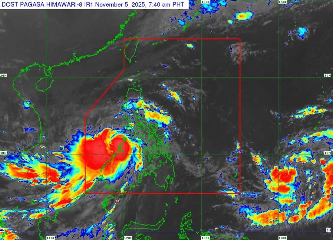
Typhoon "Tino" accelerated and was already over the coastal waters of El Nido, Palawan, as of 7 a.m. on Wednesday.
The typhoon has maximum sustained winds of 120 kilometers per hour near the center and gustiness of up to 165 km/h. It is moving west-northwest at 25 kilometers per hour, based on the 8 a.m. bulletin of the Philippine Atmospheric, Geophysical, and Astronomical Services Administration (PAGASA).
Tropical Cyclone Wind Signals remain in effect in several areas as "Tino" continues to move across the western part of the Philippines.
TCWS No. 4
Luzon:
- Northernmost portion of Palawan (El Nido, Taytay, Araceli)
- Calamian Islands
TCWS No. 3
Luzon:
- Northern portion of Palawan (Dumaran, San Vicente, Roxas)
- Cuyo Islands
TCWS No. 2
Luzon:
- Southern portion of Occidental Mindoro (Magsaysay, San Jose, Rizal, Calintaan)
- Central portion of Palawan (Puerto Princesa City)
- Kalayaan Islands
TCWS No. 1
Luzon:
- Rest of Occidental Mindoro including Lubang Islands
- Oriental Mindoro
- Southwestern portion of Romblon (Santa Fe, Looc, San Jose, Ferrol)
- Southern portion of Palawan (Aborlan, Quezon, Narra, Sofronio Española)
- Cagayancillo Islands
Visayas:
- Antique
- Caluya Islands
- Northwestern portion of Aklan (Buruanga, Malay, Nabas)
At around 4:40 a.m. today, the center of "Tino" made landfall in El Nido, Palawan. On its current forecast track, the typhoon will continue moving west-northwestward over the West Philippine Sea (WPS) and is expected to exit the Philippine Area of Responsibility (PAR) tonight or early tomorrow morning, November 6.
The weather bureau warned that rainfall, severe winds, and storm surges may still be experienced in areas outside the landfall point and the forecast confidence cone.