
Two tropical depressions and a typhoon are being monitored outside the Philippine Area of Responsibility (PAR), with one system seen as having a higher chance of entering the country’s monitoring zone, the Philippine Atmospheric, Geophysical and Astronomical Services Administration (PAGASA) said Saturday.
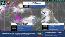
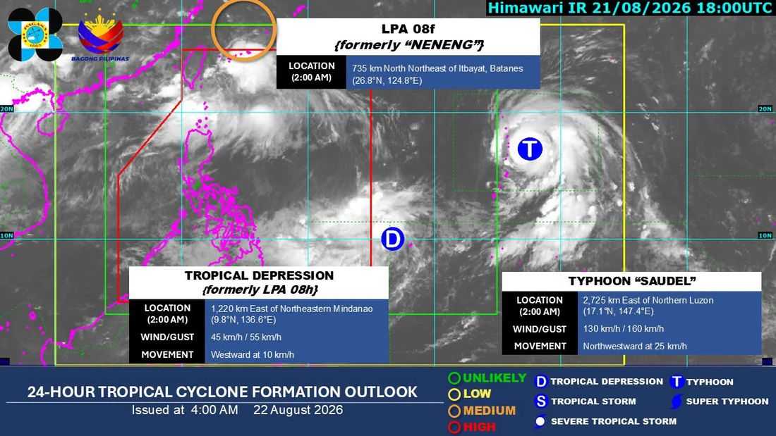
As of 2 a.m. Saturday, Aug. 22, PAGASA was monitoring low-pressure area 08F, formerly known as “Neneng,” outside the PAR. The system has a medium chance of developing into a tropical depression within the next 24 hours.
Another low-pressure area, 08H, has already developed into a tropical depression. It was last located about 1,195 kilometers east of northeastern Mindanao.
PAGASA said the tropical depression remains outside the PAR and is not expected to directly affect the Philippines at present, although its possible entry into the country’s monitoring zone has not been ruled out.
Also being monitored outside the PAR is Typhoon “SAUDEL”, which was last located about 2,700 kilometers east of Northern Luzon.
Of the weather systems being monitored, Saudel has the higher likelihood of entering the PAR. PAGASA said it could enter the monitoring zone as early as Monday, Aug. 24.
Once inside or near the PAR, Saudel could enhance the southwest monsoon, or habagat, potentially bringing increased rains to parts of the Philippines next week.
PAGASA said all three systems remain outside the PAR and advised the public to rely on official updates as their locations, movement and intensity may change.
The public is urged to continue monitoring bulletins from the Department of Science and Technology-PAGASA for the latest information.
