
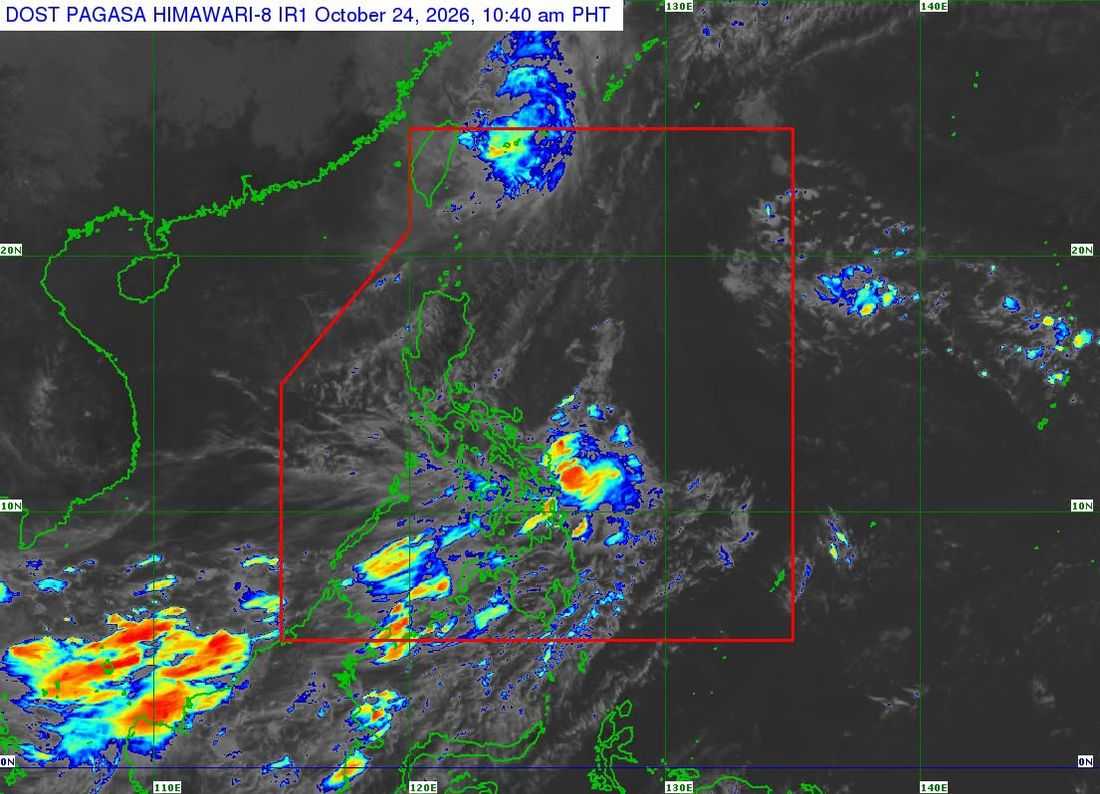
Typhoon Rosal has exited the Philippine Area of Responsibility (PAR) and is expected to weaken further as it moves toward the East China Sea, the state weather bureau said Saturday.
In its 11 a.m. bulletin released Saturday, October 24, the Philippine Atmospheric, Geophysical and Astronomical Services Administration (PAGASA) said Rosal was last spotted 525 kilometers north-northeast of Itbayat, Batanes, outside PAR.
The typhoon had maximum sustained winds of 120 kph near its center, gusts of up to 150 kph and a central pressure of 970 hectopascals. It was moving east-northeast at 20 kph.
PAGASA said Rosal is expected to gradually weaken over the next 12 hours and could be downgraded to a severe tropical storm Saturday afternoon or evening.
No tropical cyclone wind signals are currently in effect, but the typhoon's outer circulation may still bring strong to gale-force gusts to parts of the country, including Batanes, the Babuyan Islands, Ilocos Norte, Aurora, northern Quezon, the Polillo Islands, the Bicol Region, Romblon, Capiz, Iloilo and Negros Occidental.
A gale warning also remains in effect over the seaboards of Northern Luzon, where rough to very rough seas could endanger vessels.
PAGASA advised mariners to avoid sailing in dangerous sea conditions and urged residents in hazard-prone areas to follow evacuation orders and other instructions from local officials.
The weather bureau said the bulletin would be its final advisory on Rosal unless the typhoon reenters PAR.
