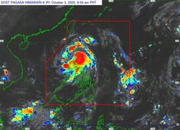
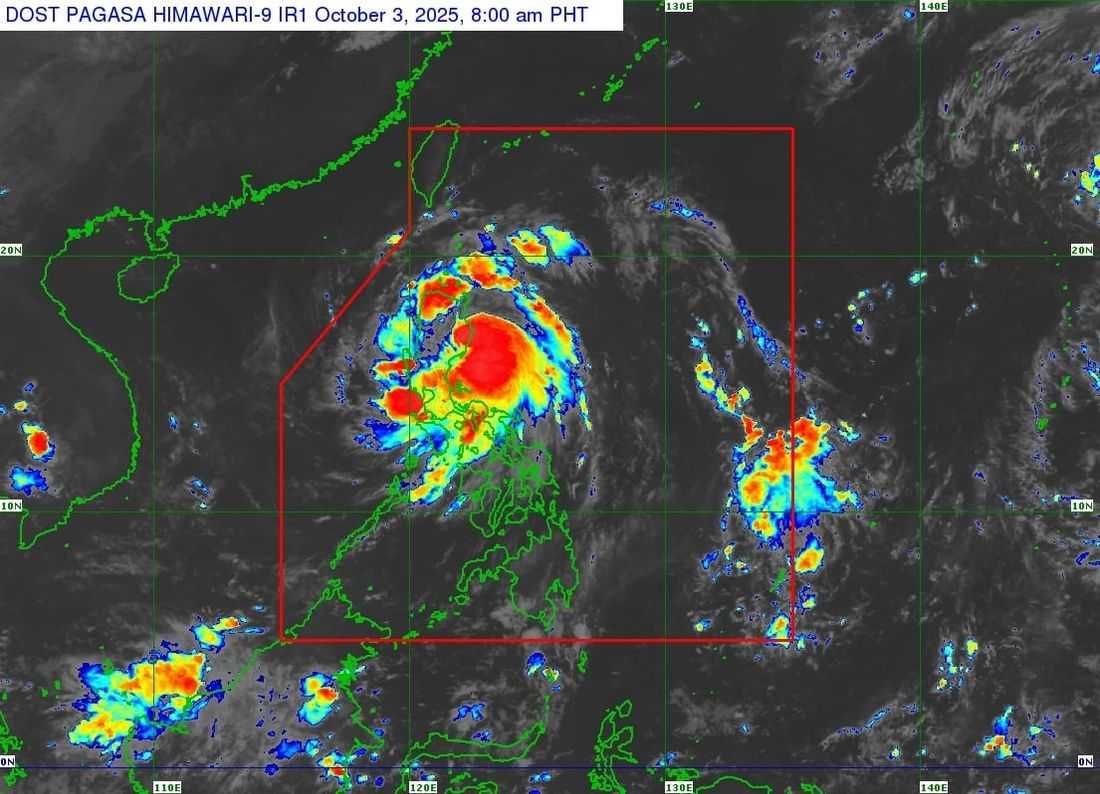
Typhoon Paolo made landfall at around 9:00 a.m. Friday, October 3, in the coastal town of Dinapigue, Isabela, according to the Philippine Atmospheric, Geophysical and Astronomical Services Administration (PAGASA).
In its latest advisory, PAGASA said the typhoon is moving west-north-west at 25 kilometers per hour, packing maximum sustained winds of 110 km/h near the center and gusts reaching up to 150 km/h.
PAGASA weather specialist Munir Baldomero said that no additional landfall is expected as the weather disturbance continues its traverse across Luzon.
The typhoon is forecast to exit landmass by late this afternoon or evening before moving outside the Philippine Area of Responsibility (PAR) by tomorrow morning.
While Paolo may slightly weaken as it crosses Luzon, it is still expected to maintain typhoon intensity.
The weather bureau said that Tropical Cyclone Warning Signal (TCWS) No. 4 will be raised over parts of Northern Luzon and Aurora.
Several other provinces remain under various warning signals as typhoon's winds and rains affect large portions of Luzon.