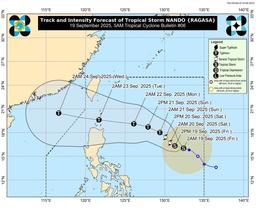
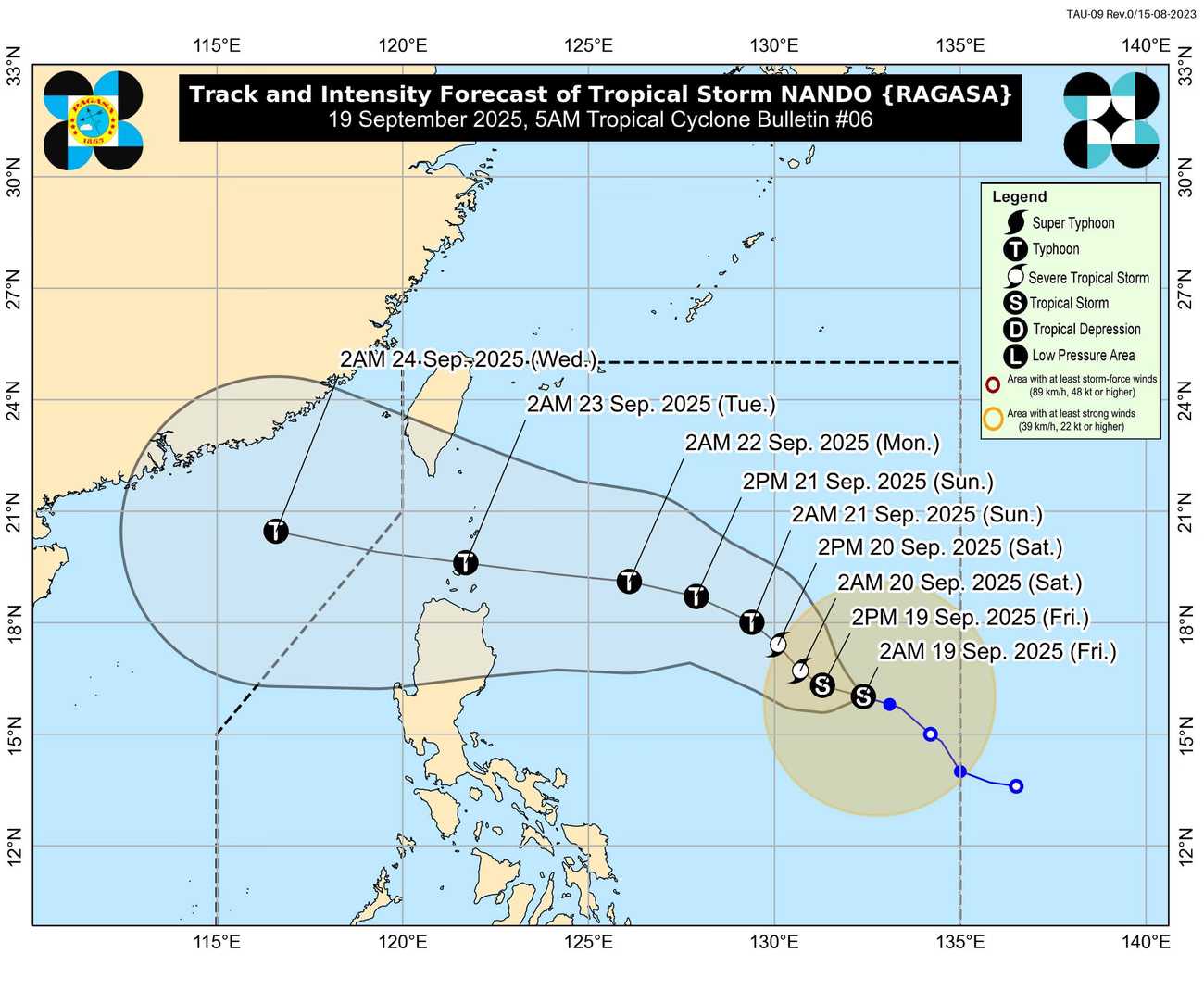
Tropical Storm Nando slightly intensified on Friday morning, now packing maximum sustained winds of 75 kilometers per hour (kph) and gusts of up to 90 kph, according to state weather bureau PAGASA.
As of 5:00AM report, the storm’s center was estimated at 1,075 km east of Central Luzon, moving west-northwestward at 15 kph. PAGASA said Nando is unlikely to directly affect the country within the next 48 hours.
However, the cyclone is expected to continuously intensify over the Philippine Sea and could reach super typhoon strength before either making landfall or passing very close to the Babuyan Islands between Monday evening and early Tuesday.
Tropical cyclone wind signals may be raised in some parts of northern Luzon as early as the weekend to give residents ample lead time for preparations. PAGASA also cautioned that Nando may reach super typhoon category before approaching land.
Meanwhile, Nando is also forecast to enhance the southwest monsoon, which could bring rains to western Luzon by Sunday or Monday.
PAGASA urged residents, particularly in northern Luzon, to stay alert and prepare for possible heavy rains, flooding, and strong winds as Nando continues to intensify in the coming days.