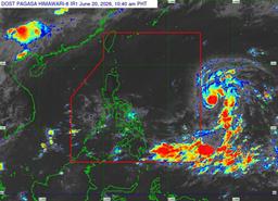
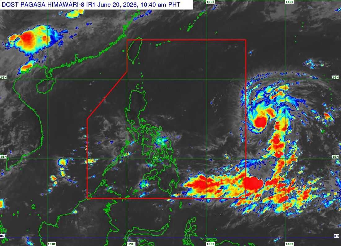
Tropical Storm 'Mekkhala' has slightly intensified while moving over the Philippine Sea east of Southeastern Luzon, according to Philippine Atmospheric, Geophysical and Astronomical Services Administration (PAGASA) on Saturday, June 20.
As of 11 a.m., the center of the storm was estimated at 1,590 kilometers east of Southeastern Luzon, outside the Philippine Area of Responsibility (PAR). Mekkhala was packing maximum sustained winds of 85 kilometers per hour near the center and gusts of up to 105 kilometers per hour.
The tropical storm was moving westward at a speed of 20 kilometers per hour.
PAGASA said Mekkhala is expected to enter the PAR either Saturday evening or early Sunday morning, June 21.
Once inside the country's monitoring area, the cyclone will be given the local name “Francisco.”
Forecasters noted that the likelihood of landfall remains low at this time. However, the storm is expected to continue intensifying and may reach typhoon strength by Sunday, June 21.
PAGASA also warned that due to the cyclone’s possible close proximity to land on Tuesday, June 23, and Wednesday, June 24, as well as potential changes in its forecast track, the hoisting of Tropical Cyclone Wind Signal No. 1 over the northern and eastern portions of Northern Luzon cannot be ruled out.
The weather bureau advised the public and local disaster risk reduction authorities to continue monitoring updates and advisories regarding the tropical cyclone’s movement and intensity.