
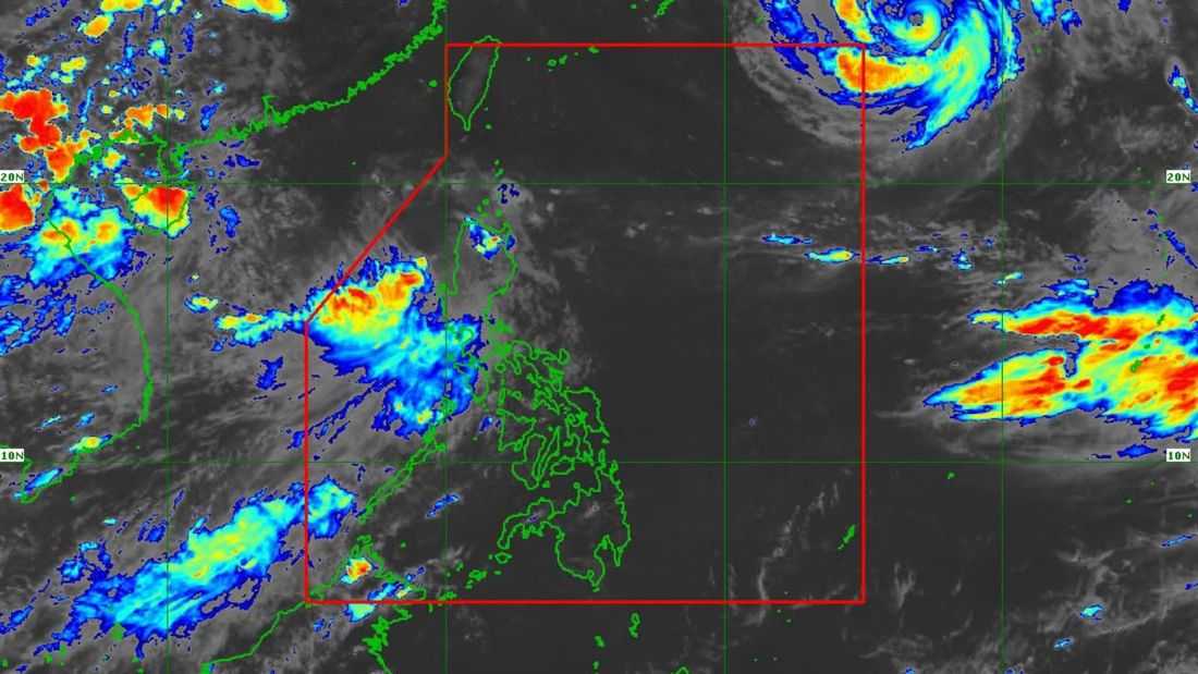
Tropical Storm Maymay maintained its strength while moving north northeastward over the sea, the PAGASA said.
As of 5:00 PM on Wednesday, August 5, the center of the tropical storm was located at 145 km west of Sinait, Ilocos Sur. It has maximum sustained winds of 75 km/h near the center, gustiness of up to 90 km/h and central pressure of 996 hPa.
It is currently moving north northeastward at 10 km/h.
Meanwhile, Tropical Cyclone Wind Signals (TCWS) No. 1 and 2 are in effect in some parts of Luzon.
According to PAGASA, Maymay will move generally eastward and may make landfall over the Ilocos Norte–Ilocos Sur–La Union area tonight (August 5) or tomorrow morning (August 6). It is also forecast to remain a tropical storm as it approaches the Philippine landmass.
After making landfall, Maymay will weaken into a tropical depression by tomorrow morning and may be downgraded further into a low pressure area (LPA) by tomorrow afternoon or evening.
