
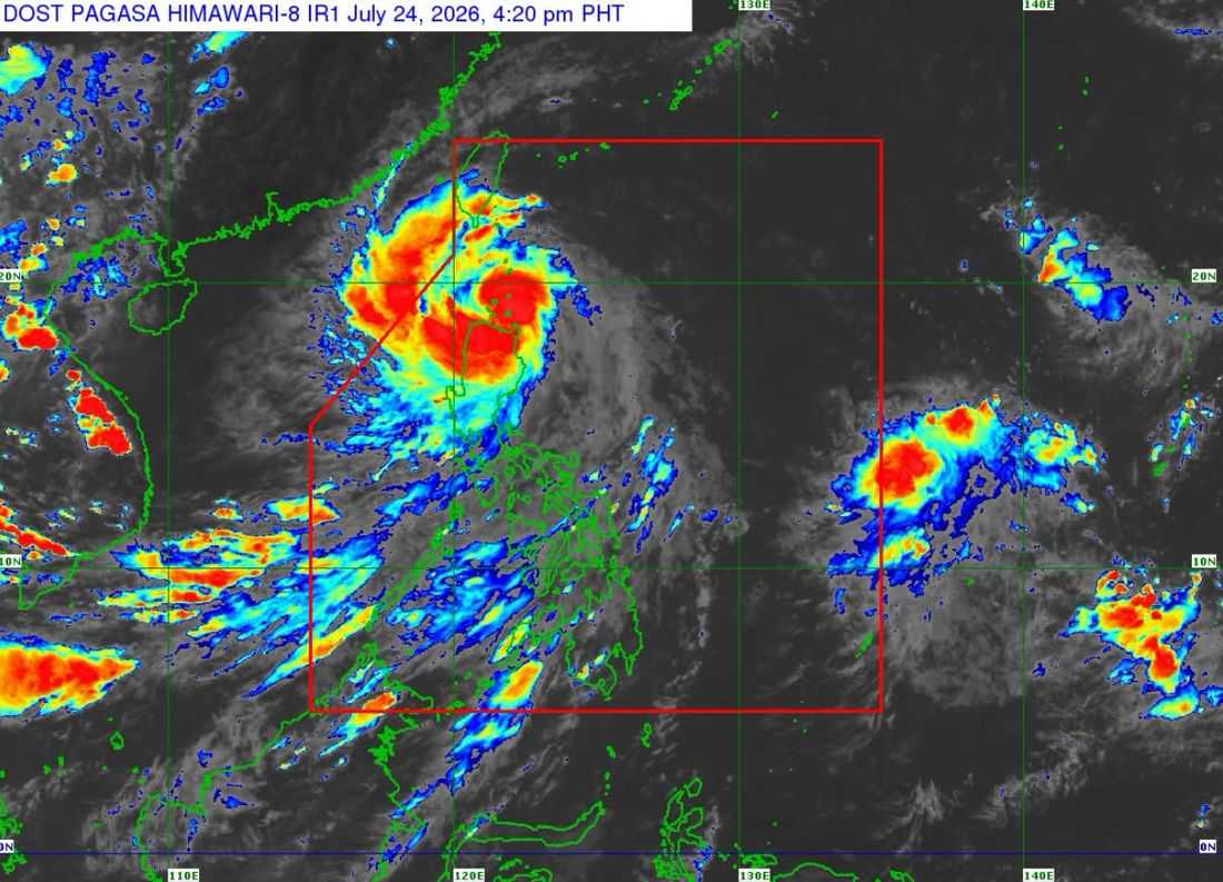
The center of Tropical Storm Kiyapo made landfall over the Camiguin is Calayan, Cagayan as of 2:10 PM on Friday, July 24.
The tropical storm was located at the coastal waters of Carriguin Island in Calayan, Cagayan. It has maximum sustained winds of 85 km/h and gustiness of up to 115 km/h and central pressure of 990 hPa.
It is currently moving west northwestward at 30 km/h.
Tropical Cyclone Wind Signals (TCWS) number 1 and 2 also in effect in the following areas:
TCWS No. 2
Batanes, the northern portion of Cagayan (Santa Ana, Gonzaga, Santa Teresita, Camalaniugan, Aparri, Ballesteros, Abulug, Pamplona, Sanchez-Mira, Claveria, Santa Praxedes, Buguey, Allacapan, Lal-Lo, Gattaran, Baggao, Lasam) including Babuyan Islands, the northern portion of Apayao (Luna, Santa Marcela, Calanasan, Pudtol, Flora), and the northern portion of Ilocos Norte (Pagudpud, Dumalneg, Adams, Bangui, Burgos, Vintar).
TCWS No. 1
The rest of mainland Cagayan, Isabela, Quirino, Nueva Vizcaya, the rest of Apayao, Abra, Kalinga, Mountain Province, Ifugao, Benguet, the rest of Ilocos Norte, Ilocos Sur, and La Union, and the northern and central portions of Aurora (Dilasag, Casiguran, Dinalungan, Dipaculao)
The state weather bureau said that “Kiyapo” may exit PAR on Friday evening or Saturday morning, July 25.
It will continue moving west northwestward until Saturday morning over the Luzon Strait and the West Philippine Sea (WPS) before turning northwestward for the rest of the forecast period.
PAGASA said “Kiyapo” may be upgraded into a severe tropical storm while or after passing the Babuyan Islands. However, as it moves over the WPS, “Kiyapo” may undergo intensification and reach typhoon category, before making landfall over mainland China.
