TS Jangmi moves closer to PAR, affects eastern Mindanao
Weather
TS Jangmi moves closer to PAR, affects eastern Mindanao
by Thea Divina28 May 2026
Watch Video
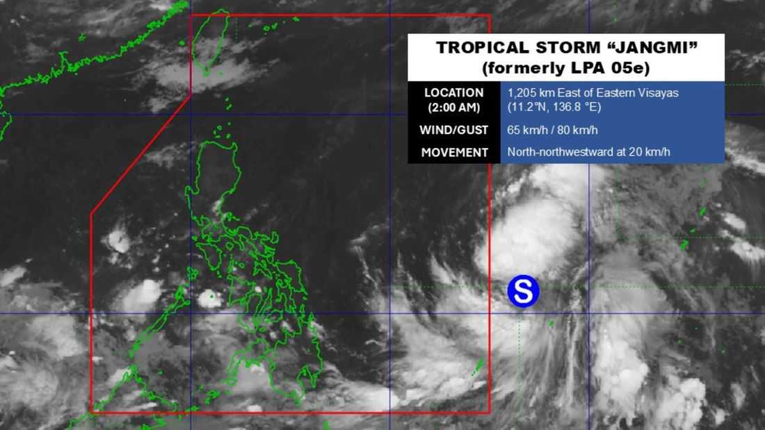
Photo from DOST-PAGASA
Tropical Storm Jangmi continues to move closer to the Philippine Area of Responsibility (PAR), while its trough is affecting the eastern section of Mindanao, PAGASA reported Thursday, May 28.
Although the storm is not expected to make landfall in any part of the country, its trough may bring rain showers over eastern Mindanao, PAGASA said.
As of 5 a.m., PAGASA weather specialist Chenel Dominguez said the storm was last spotted 1,195 kilometers east of Eastern Visayas, packing maximum sustained winds of 65 kilometers per hour and gusts of up to 80 kph. Jangmi is moving north-northwestward at 20 kph.
Dominguez added that Tropical Storm Jangmi is expected to enter the PAR between Thursday night and Friday, May 29. Once inside the PAR, it will be given the local name “Domeng.”
Meanwhile, the southwest windflow is affecting Palawan, Western Visayas, the Negros Island Region, Zamboanga Peninsula, Soccsksargen, the Bangsamoro Autonomous Region in Muslim Mindanao, Lanao del Norte, and Misamis Occidental, bringing cloudy skies with scattered rain showers and thunderstorms.
Metro Manila and the rest of the country may expect generally fair weather conditions, although localized thunderstorms may trigger rain showers, especially in the afternoon and evening, PAGASA said.