
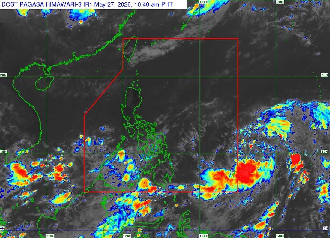
The tropical depression outside the Philippine Area of Responsibility (PAR) has intensified into a tropical storm and is now named “Jangmi,” PAGASA said Wednesday, May 27.
As of 10:00 a.m., the center of Tropical Storm Jangmi was estimated to be 1,300 kilometers east of Northeastern Mindanao, still outside PAR. It packs maximum sustained winds of 65 kilometers per hour near the center, gustiness of up to 80 kph, and a central pressure of 1002 hPa, moving north northwestward at 10 kph. Strong to gale-force winds extend up to 380 kilometers from the center.
PAGASA said Jangmi is forecast to continue moving north northwestward until Wednesday, before shifting generally northwestward over the Philippine Sea. By the weekend, it is expected to turn north northwestward to northward.
The weather disturbance is expected to enter PAR on Thursday evening, May 28, and will be given the local name “Domeng.”
Once inside PAR, Jangmi is forecast to enter as a severe tropical storm and may further intensify into a typhoon by Saturday, May 30, over the Philippine Sea.
PAGASA said the cyclone is less likely to make landfall in the country, but its outer circulation may still bring gusty conditions over Extreme Northern Luzon. The highest tropical cyclone wind signal that may be raised during its passage is Wind Signal No. 1.
Moderate to rough sea conditions may also be experienced over the seaboards of Extreme Northern Luzon this weekend, with the possibility of gale warnings.
The tropical cyclone may also enhance the southwest monsoon starting Saturday, potentially bringing rain over parts of the country.
PAGASA urged the public and disaster risk reduction and management offices to continue monitoring updates.
The next advisory will be issued at 11:00 p.m., unless an intermediate bulletin is released.
