The Philippine Atmospheric, Geophysical and Astronomical Services Administration (PAGASA) on Saturday said Tropical Storm Ada may remain inside the Philippine Area of Responsibility (PAR) until Thursday as it struggles to move northward due to a high-pressure system, raising the risk of prolonged heavy rains over parts of Luzon and the Visayas.
In an interview on the program Special on Saturday, PAGASA weather forecaster Veronica Torres said Ada is having difficulty moving north and may loop within PAR, prolonging its effects over affected areas.
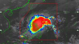
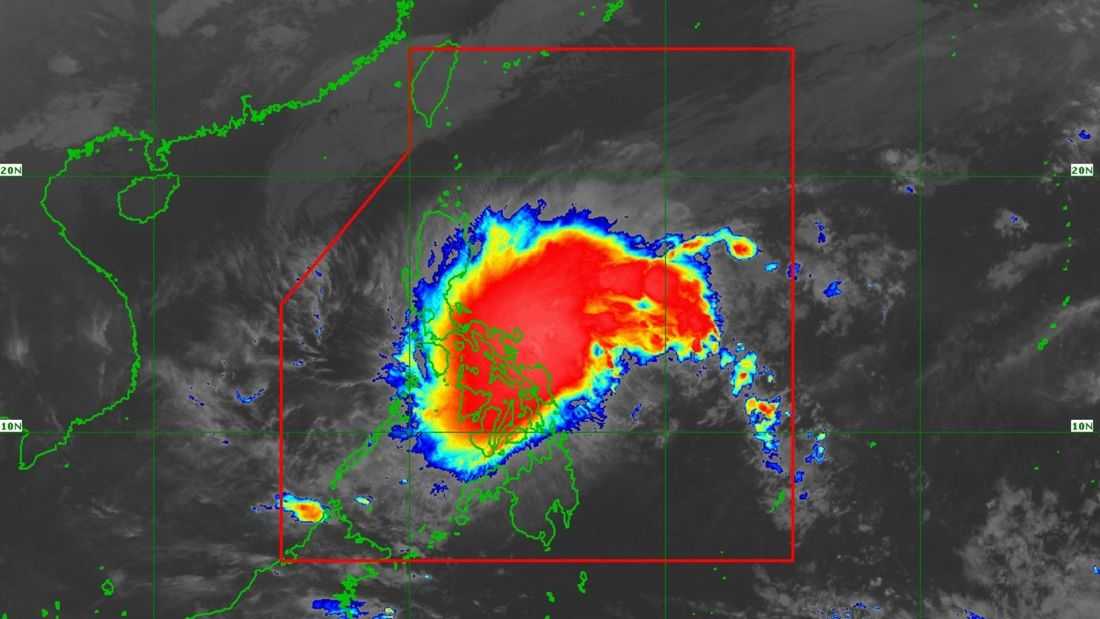
As of 4:00 a.m., Tropical Storm Ada was located about 120 kilometers east-northeast of Catarman, Northern Samar. It packs maximum sustained winds of 85 kilometers per hour near the center and gusts of up to 105 kilometers per hour, moving west-northwestward at 20 kilometers per hour.
Due to the storm, Tropical Cyclone Wind Signal No. 2 has been raised over the eastern portion of Camarines Sur, Catanduanes, Albay, Sorsogon, Northern Samar, the northern portion of Eastern Samar, and the northeastern portion of Samar.
Signal No. 1 is in effect over the eastern portion of Quezon, including Polillo Island; Marinduque; Camarines Norte; the remaining areas of Camarines Sur; Masbate, including Ticao and Burias islands; the remaining areas of Eastern Samar and Samar; Biliran; Leyte; Southern Leyte; the northern portion of Cebu, including Camotes and Bantayan islands; and Dinagat Island.
PAGASA also issued a rainfall advisory warning of intense to torrential rains in several areas. More than 200 millimeters of rainfall is expected in Catanduanes, while 100 to 200 millimeters may affect Camarines Sur, Albay, Sorsogon, Masbate, and Northern Samar. Rainfall of 50 to 100 millimeters is forecast over Quezon, Camarines Norte, Eastern Samar, Samar, and Biliran.
Torres warned that the expected rainfall in Albay is particularly dangerous, given the activity of Mayon Volcano and the recent lahar advisory issued by the Philippine Institute of Volcanology and Seismology (PHIVOLCS).
She said residents should follow evacuation orders, as heavy to intense rains could trigger lahar flows and flooding.
PAGASA said Ada is expected to stay within PAR for the next three to five days, although it may weaken once it is penetrated by the Northeast Monsoon or Amihan. Torres noted that the storm could significantly weaken or dissipate by Thursday if monsoon winds dominate.
Despite earlier forecasts of zero to one tropical cyclone for January, PAGASA clarified that the outlook applies on a monthly basis. Torres said there remains a possibility of additional tropical cyclones entering PAR in February and March.
Meanwhile, gale warnings are currently in effect over the eastern seaboard of southern Luzon and the northern seaboard of Eastern Visayas. PAGASA advised small fishing vessels and other sea craft to avoid sailing in these areas due to rough to very rough sea conditions.
Authorities continue to urge the public, especially those in storm-affected and landslide-prone areas, to remain alert, monitor official advisories, and take precautionary measures as Tropical Storm Ada continues to affect scattered portions of the country.