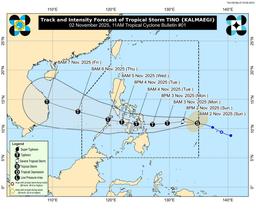
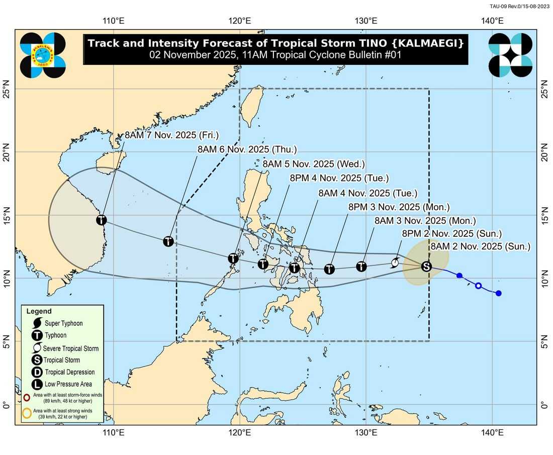
Tropical Storm #TinoPH with international name ‘Kalmaegi’ has entered the Philippine Area of Responsibility (PAR) this Sunday morning, November 2, according to the latest advisory from DOST-PAGASA.
As of 10:00 AM, the center of Tropical Storm Tino was located 955 kilometers east of Eastern Visayas with maximum sustained winds of 85 km/h near the center and gustiness reaching 105 km/h. The system is currently moving westward at 30 km/h.
Tropical Cyclone Wind Signal no. 1 up in some areas
Signal No. 1
• Visayas: Eastern Samar
• Mindanao: Dinagat Islands, Siargao, and Bucas Grande Islands
Residents in these areas may experience strong winds within the next 36 hours, with minimal to minor threats to life and property.
PAGASA warned that heavy rains, strong winds, and possible storm surges are expected as Tino approaches the country’s landmass. Coastal flooding could occur in low-lying areas of Visayas, Southern Luzon, and Northern Mindanao, particularly those near the projected track of the storm.
Fishermen and operators of small seacrafts were also advised not to venture out to sea due to rough to very rough conditions, especially along the eastern seaboards of Eastern Visayas and Caraga Region.
#TinoPH is expected to continue moving westward, with an initial landfall projected over Eastern Samar or Dinagat Islands by late Monday evening of November 3 or early Tuesday morning of November 4.
PAGASA urged the public and local disaster officials to take precautionary measures, follow evacuation advisories, and monitor updates from local authorities as #TinoPH is set to intensify further and may reach typhoon category within 24 hours.