
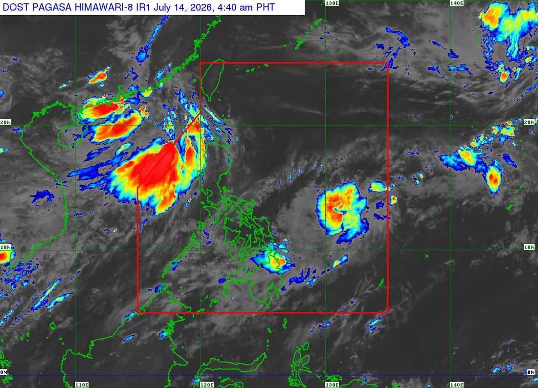
Tropical Storm Josie has entered the Philippine Area of Responsibility (PAR) on Tuesday morning, July 14, according to the Philippine Atmospheric, Geophysical and Astronomical Services Administration (PAGASA).
In its 5:00 a.m. weather bulletin, PAGASA said the center of Tropical Storm Josie was estimated at 1,085 kilometers east of Eastern Visayas.
The storm packs maximum sustained winds of 65 kilometers per hour (km/h) near the center, with gustiness of up to 80 km/h. It is moving northwestward at 25 km/h, with strong to gale-force winds extending outward up to 480 kilometers from the center.
As of the latest advisory, no Tropical Cyclone Wind Signal (TCWS) has been raised over any part of the country.
PAGASA said the tropical storm is not expected to directly affect any part of the Philippines and is also not expected to enhance the southwest monsoon (habagat). The weather bureau added that Josie is forecast to exit the PAR by Tuesday evening or early Wednesday morning.
Meanwhile, the southwest monsoon will continue to bring scattered rains over Ilocos Norte, Ilocos Sur, and La Union.
On Tuesday, the southwest monsoon is expected to affect the Ilocos Region, Cordillera Administrative Region (CAR), Cagayan Valley, Central Luzon, Cavite, Batangas, and Occidental Mindoro.
Metro Manila and the rest of the country will experience partly cloudy to cloudy skies with isolated rain showers or thunderstorms due to localized thunderstorms.
By Wednesday, the southwest monsoon will affect the Ilocos Region, Abra, Apayao, Zambales, Bataan, Batanes, and the Babuyan Islands. On Thursday, rains are expected over the Ilocos Region, Abra, Apayao, Batanes, and the Babuyan Islands.
PAGASA has also issued a Gale Warning, as rough seas with wave heights of up to 3.0 meters are expected over the western seaboards of the Babuyan Islands and Pangasinan, as well as the coastal waters of Ilocos Norte, Ilocos Sur, and La Union.
Fisherfolk and operators of small seacraft are advised to take precautionary measures and avoid venturing into affected waters due to hazardous sea conditions.
