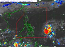
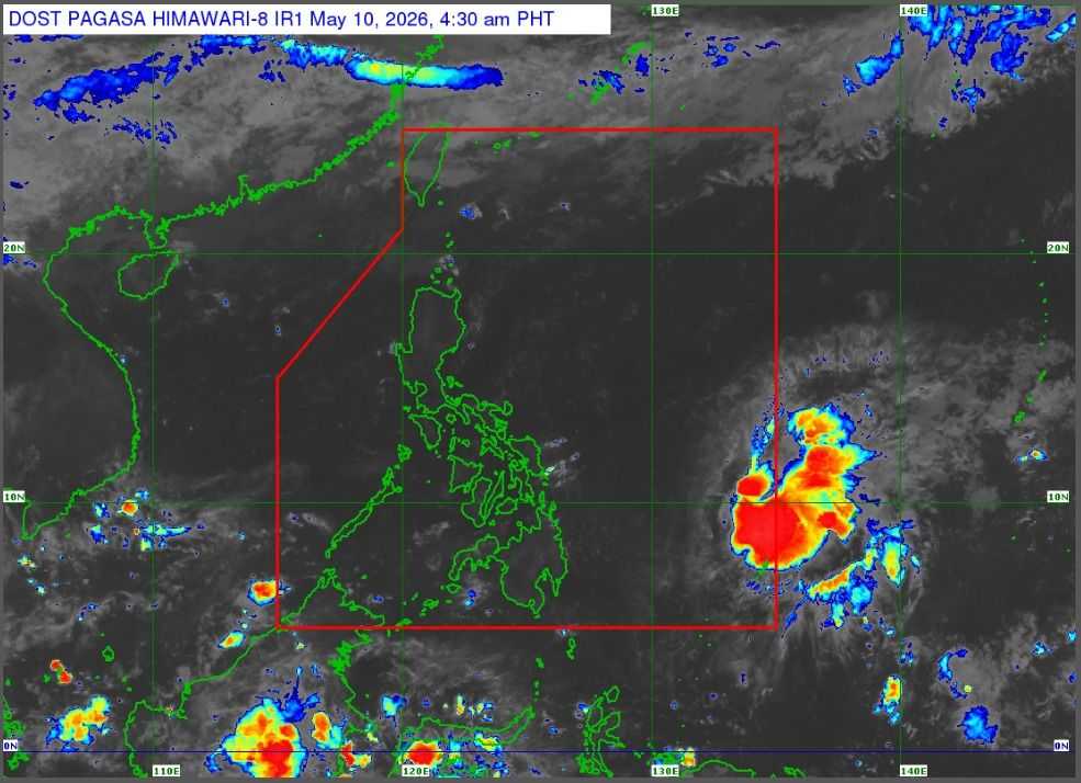
Tropical Storm Caloy has slightly slowed down while moving over the Philippine Sea, about 910 kilometers east of Northeastern Mindanao on Sunday, May 10.
Based on PAGASA's 4:00 AM update, the storm has maximum sustained winds of 65 km/h near the center and gusts of up to 80 km/h. Its central pressure is 1002 hPa. It is moving west northwestward at 15 km/h. Strong to gale-force winds extend outward up to 320 kilometers from the center.
According to the weather bureau, Tropical Storm Caloy is not expected to directly affect the country as it remains over the Philippine Sea.
However, moderate to rough seas are expected in several coastal waters, including areas in Northern Samar, Eastern Samar, Siargao-Bucas Grande Islands, Batanes, Babuyan Islands, Ilocos Norte, and parts of Luzon, Visayas, and Mindanao coasts. Wave heights may reach up to 2.5 meters in some areas.
Mariners, especially those operating small vessels, are advised to take precautions or avoid sailing due to rough sea conditions.
Caloy is forecast to continue moving west northwestward while remaining offshore. It is expected to weaken into a tropical depression by this afternoon or evening and further weaken into a remnant low by tomorrow, May 11.
The public is advised to continue monitoring official weather updates and follow local government instructions if necessary. The next bulletin will be issued at 11:00 AM today.