
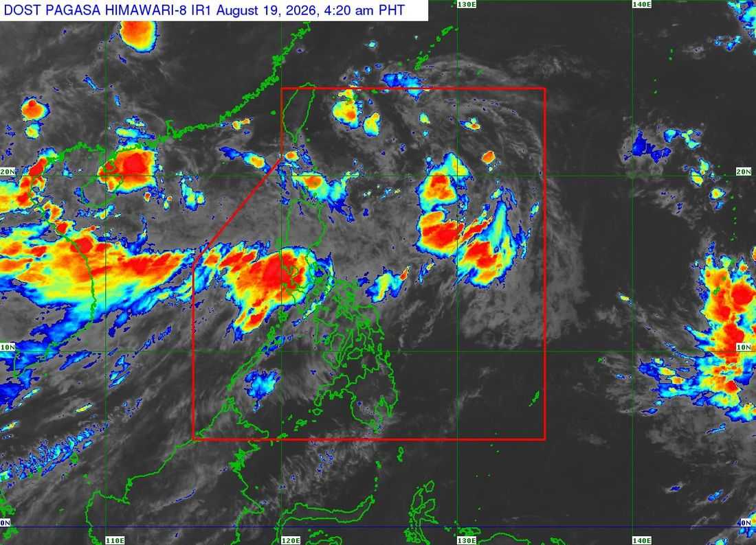
Tropical Depression Neneng slightly intensified as it moved northwestward over the waters east of Batanes, the Philippine Atmospheric, Geophysical and Astronomical Services Administration (PAGASA) said Wednesday.
In its 5 a.m. bulletin, PAGASA said Neneng was last located 675 kilometers east of Itbayat, Batanes, moving northwestward at 15 kilometers per hour.
The tropical depression is packing maximum sustained winds of 55 kph near the center, with gusts of up to 70 kph.
PAGASA said Neneng is expected to continue moving west-northwestward and may make landfall along the eastern coast of Taiwan between Thursday afternoon and Friday morning. The weather disturbance is forecast to remain a tropical depression over the next 36 hours before weakening into a remnant low over or near Taiwan.
However, PAGASA said earlier weakening cannot be ruled out.
No tropical cyclone wind signals are expected to be raised over any part of the country as
Neneng is forecast to remain far from the Philippine landmass.
Despite this, Neneng will continue to enhance the southwest monsoon, or habagat, which will bring rains over the western section of Luzon on Thursday.
The entire Luzon and the provinces of Aklan and Antique are expected to continue experiencing rain as the habagat persists.
Meanwhile, generally fair weather is expected over the southern Visayas and the whole of Mindanao, although localized thunderstorms may develop in the afternoon and evening.
