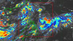
Tropical Depression “Nando” may reach typhoon category by Saturday, September 20, while traversing the Extreme Northern Luzon, the PAGASA said.
According to its tropical cyclone bulletin issued at 5:00 PM on Thursday, September 18, “Nando” continues to accelerate as it moves northwestward over the Philippine Sea. Presently, it is moving northwestward at 15 km/h, while its center was estimated to be at 1,260 km East of Central Luzon.
Nando has maximum sustained winds of 55 km/h near the center, gustiness of up to 70km/h, and a central pressure of 1002 hPa.
Although there are no wind signals currently hoisted, the PAGASA said that Nando may potentially enhance the southwest monsoon as it approaches the landmass. With this, the state weather bureau reminded that Wind Signal No. 1 may be hoisted over Northern Luzon as early as Saturday.
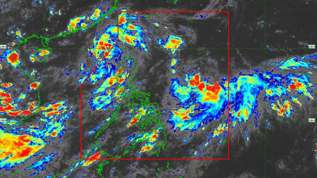
Meanwhile, the PAGASA said that Nando is forecasted to move “slowly northwestward or west northwestward” over the Philippine Sea in the next 48 hours. It will turn west-northwestward or westward by Saturday afternoon or Sunday morning.
It may also make landfall over the Babuyan Islands, and will continue to intensify while over the Philippine Sea and eventually reach typhoon category.
As of 2:00 PM, the state weather bureau also noted that tropical depression “Mirasol” had intensified into a tropical storm and has an international name of “Mitag.” It is still being monitored outside the Philippine Area of Responsibility (PAR).