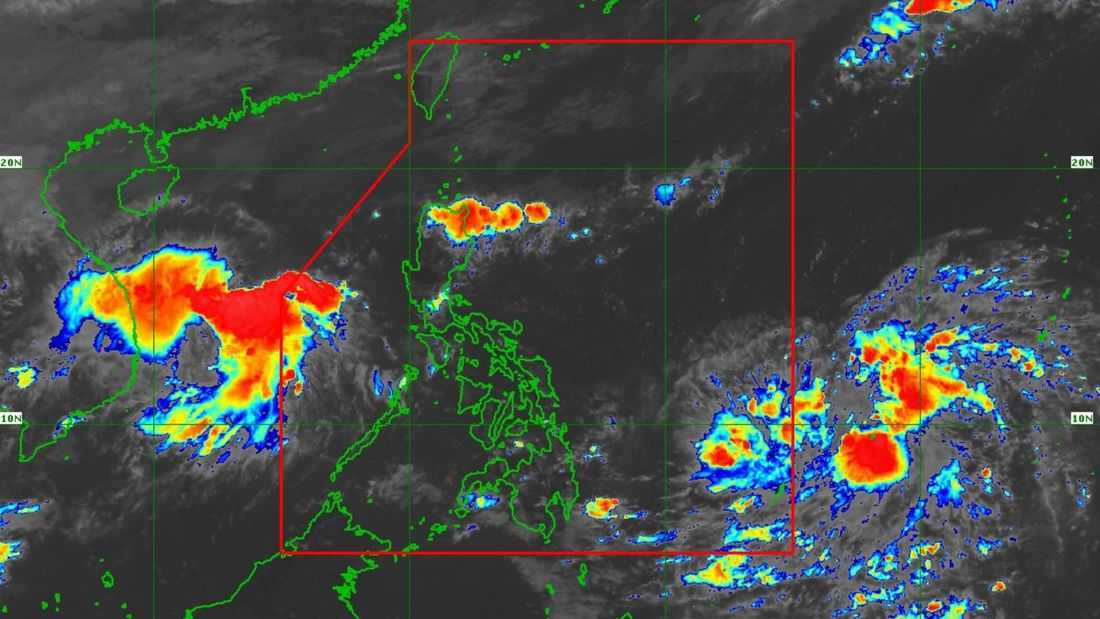
The tropical depression outside the Philippine Area of Responsibility (PAR) maintains its strength while moving west-northwestward, and may enter PAR on Sunday, November 2.
Based on PAGASA’s tropical cyclone advisory issued at 11:00 AM, the center of the tropical depression was located at 1,375 km east of Northern Mindanao. It has maximum sustained winds of 45 km/h near the center, gustiness of up to 55km/h, and a central pressure of 1008 hPa.
It is currently moving west-northwest at 15 km/h.
It is forecasted to enter PAR on Sunday (November 2) morning or afternoon. Once inside PAR, the tropical depression will be given the domestic name “Tino.”
While over the Philippine Sea, “Tino” will move more westward, PAGASA said. It may make its initial landfall over the Caraga Region or the Eastern Visayas between Monday (November 3) evening and Tuesday (November 4) morning.
“Afterwards, the TC [tropical cyclone] will traverse much of Visayas, the northern portion of [the] Sulu Sea, and the northern portion of Palawan, before emerging over the West Philippine Sea on Wednesday morning or afternoon,” the PAGASA said.
“Close approach over Kalayaan Islands on Wednesday is also not ruled out at this time,” it added.