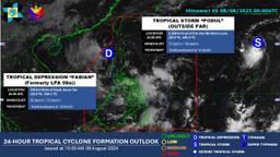
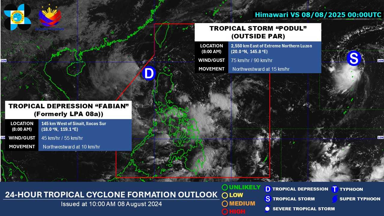
The Department of Science and Technology – Philippine Atmospheric, Geophysical and Astronomical Services Administration (DOST-PAGASA) has confirmed that the Low Pressure Area (LPA) being monitored within the Philippine Area of Responsibility (PAR) has developed into a tropical depression, named “Fabian.”
As of 10:00 a.m., the center of Fabian was estimated to be 185 kilometers west of Batac, Ilocos Norte, with strong winds extending outward up to 100 kilometers from the center.
According to PAGASA, it is unlikely to directly affect the country’s weather conditions within the forecast period.
Although no wind signals have been hoisted at this time, PAGASA continues to issue updates and advisories as it monitors the system’s strength, direction, and potential impacts.
Throughout the forecast period, Fabian is expected to move northwestward and may exit the PAR tonight or tomorrow morning.
Meanwhile, Tropical Storm “Podul” remains outside the PAR and is under close observation for any potential movement toward the country.
The National Disaster Risk Reduction and Management Council (NDRRMC) has advised the public to stay alert and prepared, especially in flood- and landslide-prone areas, and to regularly follow updates from DOST-PAGASA and the NDRRMC.
The next tropical cyclone bulletin will be issued at 5:00 p.m. today.