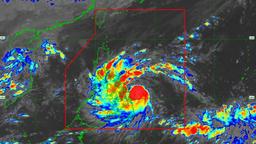
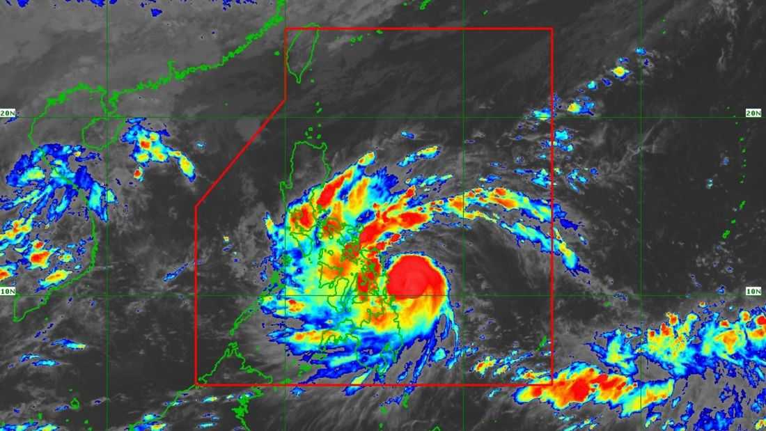
Typhoon “Tino” slightly intensified as it moved toward Eastern Visayas, the PAGASA said.
Based on its 5:00 PM bulletin issued on Monday, November 3, the typhoon’s center was located at 170 km East of Southeast of Guiuan, Eastern Samar.
It has maximum sustained winds of 130 km/h near the center, gustiness of up to 160 km/h, and a central pressure of 970 hPa. It is currently moving westward at 20 km/h.
Tropical Cyclone Wind Signals (TCWS) 1 through 4 are currently in effect in various portions of Luzon, Visayas, and Mindanao. According to the state weather bureau, significant to severe impacts from typhoon-force winds are possible within any of the areas under Wind Signal No. 4. Meanwhile, moderate to significant impacts from storm-force winds are possible within areas under Wind Signal No. 3.
“Tino” may make landfall or pass “very close” to Homonhon Island or Dinagat Islands on Monday evening or early Tuesday. The typhoon is also expected to cross the Visayas and northern Palawan throughout tomorrow and on Wednesday (November 5) morning.
It will likely emerge over the West Philippine Sea (WPS) by Wednesday morning or afternoon and is expected to exit the Philippine Area of Responsibility (PAR) by Thursday (November 6) morning.
Moreover, “Tino” is expected to remain at typhoon category throughout its passage over the country.