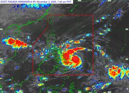
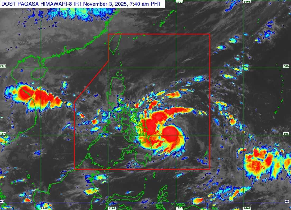
Severe Tropical Storm Tino continues to move west-southwest and is now close to reaching typhoon category, according to PAGASA.
As of 7:00 AM, the center of Tino was located 360 km east of Guiuan, Eastern Samar, packing maximum sustained winds of 110 km/h, gusts of up to 135 km/h, and moving at 25 km/h. The weather bureau said the storm may intensify into a typhoon within 12 hours and could rapidly strengthen further, with the possibility of reaching super typhoon category not ruled out.
Wind Signals in Effect
Signal No. 3 (Storm-force winds) is hoisted over:
-
Visayas: Southeastern Eastern Samar (Guiuan, Mercedes)
-
Mindanao: Dinagat Islands, Siargao, and Bucas Grande Islands
These areas may experience moderate to significant threat to life and property.
Signal No. 2 (Gale-force winds) is in effect over several provinces in Eastern Visayas, Central Visayas, parts of Northern Mindanao, and portions of Surigao and Agusan areas.
Signal No. 1 (Strong winds) is raised over parts of Bicol Region, Southern Luzon, the Visayas, and Northern Mindanao, including Romblon, Mindoro, Cebu, Negros, Iloilo, Capiz, Aklan, Antique, Surigao del Sur, Agusan del Norte, and Bukidnon.
PAGASA warned that the highest wind signal that may be raised during Tino’s passage is Signal No. 4.
Rainfall, Storm Surge, and Sea Conditions
Heavy rains due to Tino and the shear line are expected, raising risks of flooding and landslides particularly in Eastern Visayas and Northern Mindanao.
A life-threatening storm surge over 3 meters is possible in coastal areas of Sorsogon, Masbate, Romblon, Mindoro, Palawan, the Visayas, and parts of Caraga and Northern Mindanao.
Sea travel is dangerous, with waves reaching up to 9 meters in the eastern seaboards of Eastern Visayas and parts of Mindanao. Even small boats in areas with moderate seas are advised to stay in port.
Track and Landfall
Tino is forecast to make its first landfall between late tonight and early Monday over areas including the southern portion of Eastern Samar, Leyte, Southern Leyte, or Dinagat Islands. It will then cross Visayas and northern Palawan before exiting into the West Philippine Sea by Wednesday.
PAGASA urged local governments and residents, especially in high-risk areas, to prepare for possible evacuations and take necessary safety measures.