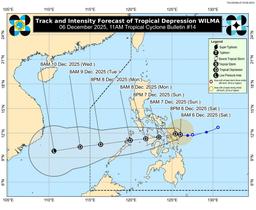
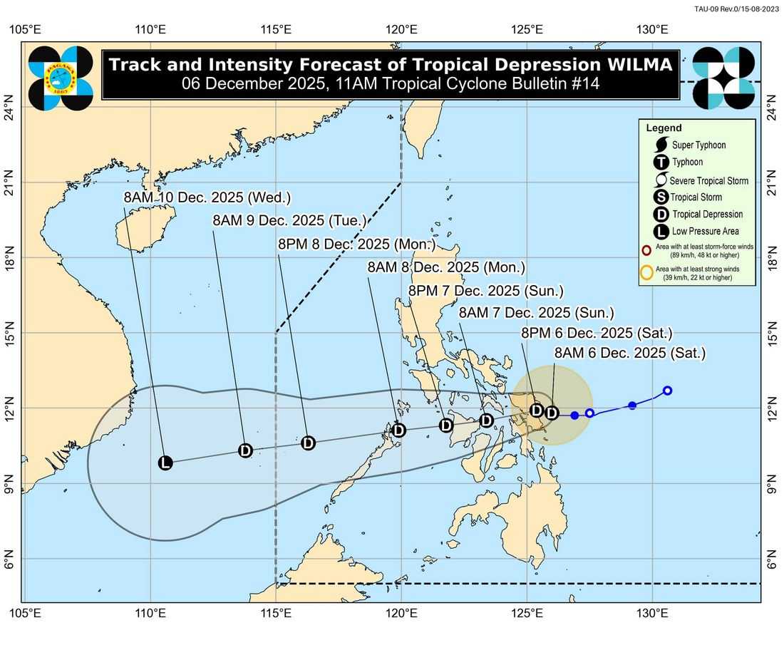
Tropical Depression Wilma continues to move slowly westward toward Eastern Samar and Northern Samar.
As of 11:00 AM today, its center was located over the coastal waters of Sulat, Eastern Samar, with maximum sustained winds of 45 km/h, gusts up to 55 km/h, and a central pressure of 1004 hPa. Winds extend up to 200 km from the storm’s center.
Tropical Cyclone Wind Signal No. 1 remains in effect over parts of Luzon, Visayas, and northern Palawan, signaling minimal to minor threats from winds of 39–61 km/h. Heavy rainfall and potential flooding are expected in these areas.

Areas with Tropical Cyclone Wind Signal No. 1 as of 11:00 AM via PAGASA
The Northeast Monsoon will enhance wind conditions, bringing strong to gale-force gusts across most of Luzon, Visayas, and Zamboanga Peninsula through Monday, especially in exposed coastal and upland areas.
Coastal waters remain dangerous, with very rough to rough seas reported over eastern and northern seaboards. Mariners are advised to stay in port or seek safe shelter until conditions improve.
Wilma is forecast to make initial landfall in Eastern Samar or Northern Samar today, cross the Visayas by tomorrow, and reach northern Palawan by Monday morning.
The tropical depression may weaken into a remnant low over Visayas due to dry air intrusion, though heavy rain and strong winds may still affect areas outside the storm’s direct path.
Authorities and residents in vulnerable areas are urged to take necessary precautions, follow evacuation orders if needed, and monitor updates from PAGASA. The next tropical cyclone bulletin will be released at 2:00 PM today.