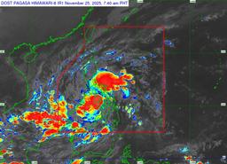
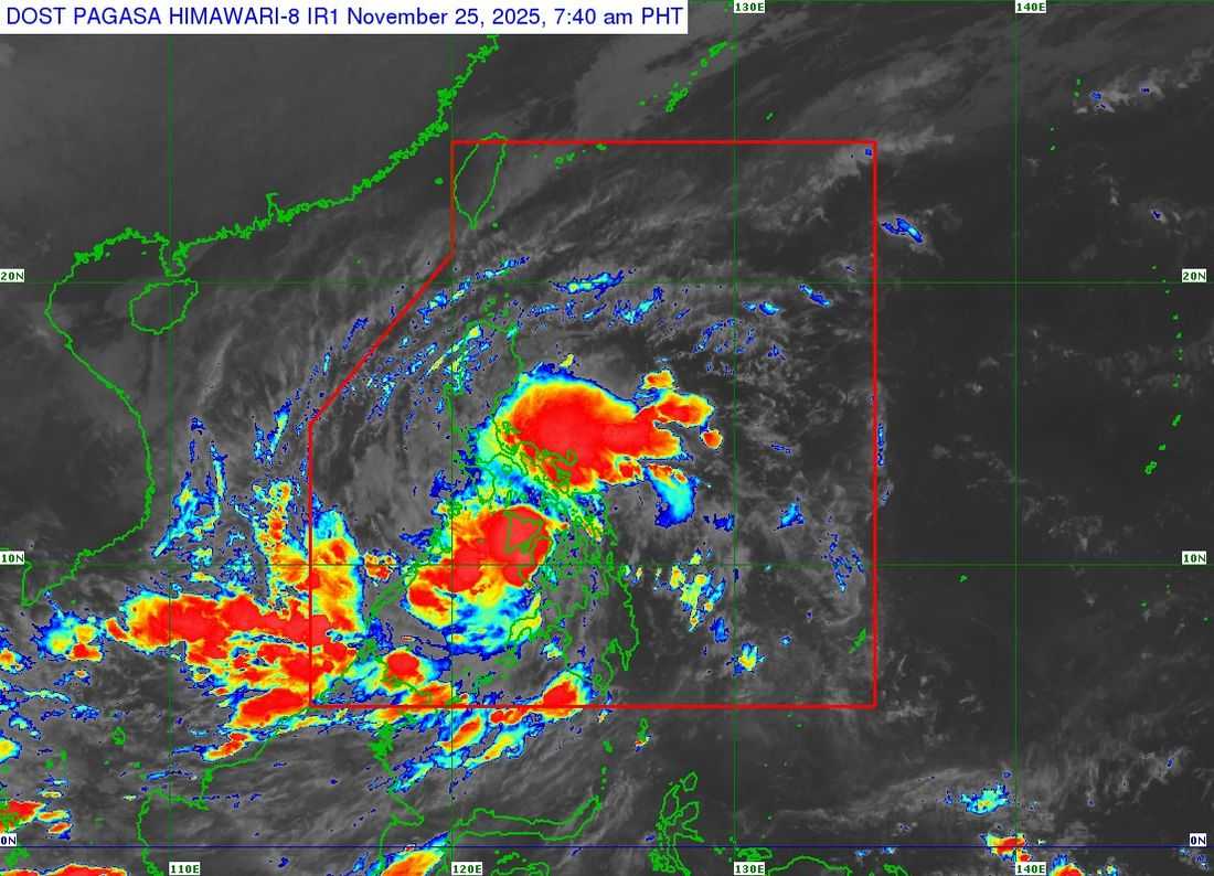
Tropical Depression Verbena continues moving west-northwestward and is currently over Negros Oriental as of 8:00 AM today.
According to PAGASA, Verbena is packing maximum sustained winds of 55 km/h, gusts up to 90 km/h, and a central pressure of 998 hPa. Strong winds extend up to 200 km from the center.
Tropical Cyclone Wind Signal No. 1 is in effect across the country in the following areas:
LUZON:
-
Occidental Mindoro
-
Oriental Mindoro
-
Romblon
-
Northern and central portions of Palawan (Araceli, Taytay, El Nido, Dumaran, Roxas, San Vicente, Puerto Princesa City)
-
Calamian
-
Cuyo
-
Cagayancillo Islands
-
Mainland Masbate (Balud, Mandaon, Milagros, Cawayan, Placer, Pio V. Corpuz, Esperanza, Uson, Dimasalang, City of Masbate, Mobo, Palanas, Aroroy, Cataingan, Baleno)
VISAYAS:
-
Antique
-
Aklan
-
Capiz
-
Iloilo
-
Guimaras
-
Negros Occidental
-
Negros Oriental
-
Siquijor
-
Cebu
-
Bohol
-
Samar
-
Eastern Samar
-
Biliran
-
Leyte
-
Southern Leyte
MINDANAO:
-
Dinagat Islands
-
Surigao del Norte
-
Northern portion of Surigao del Sur (Carrascal, Cantilan, Madrid, Carmen, Lanuza, Cortes, San Miguel, City of Tandag, Tago)
-
Agusan del Norte
-
Northeastern portion of Agusan del Sur (Sibagat)
-
Camiguin
-
Misamis Oriental
-
Northern portion of Misamis Occidental (Sapang Dalaga, Calamba, Baliangao, Plaridel, Lopez Jaena, Oroquieta City, Aloran, Panaon, Jimenez, Concepcion)
-
Northern portion of Zamboanga del Norte (Jose Dalman, Manukan, Pres. Manuel A. Roxas, Katipunan, Dipolog City, Polanco, Piñan, Dapitan City, La Libertad, Sibutad, Rizal, Mutia)
According to the weather bureau, heavy rainfall from Verbena and the Northeast Monsoon may trigger flooding and landslides, especially in coastal and upland areas.
Gale warnings are in effect for the northern seaboards of Luzon, and rough to very rough seas (up to 5.5 m) are expected in northern and eastern coastal waters. Mariners are strongly urged to avoid travel or seek safe harbor.
Verbena is forecast to cross Visayas and northern Palawan today before entering the West Philippine Sea tomorrow, with possible intensification into a tropical storm.
The system may peak as a severe tropical storm while over the West Philippine Sea north of the Kalayaan Islands.
Several areas and municipalities have announced class suspensions due to the inclement weather brought by ongoing tropical depression.
PAGASA advises residents to monitor local weather advisories, follow instructions from local authorities, and take all necessary measures to protect life and property. The next bulletin will be issued at 11:00 AM today.