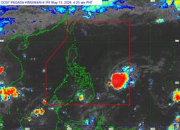
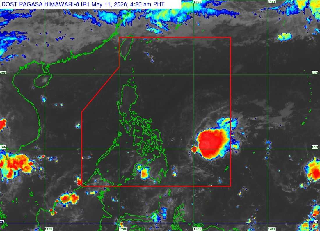
Tropical Depression “Caloy” continues to move west northwestward over the Philippine Sea while gradually weakening, according to the latest bulletin issued by DOST-PAGASA early Monday morning, May 11.
In its 5:00 a.m. tropical cyclone bulletin, PAGASA said the center of Tropical Depression Caloy was estimated at 530 kilometers east of Guiuan, Eastern Samar as of 4:00 a.m.
The weather disturbance packs maximum sustained winds of 45 kilometers per hour near the center, with gusts reaching up to 55 kph and a central pressure of 1004 hPa. It is currently moving west northwestward at 15 kph.
Despite its presence over the Philippine Sea, no Tropical Cyclone Wind Signal (TCWS) has been raised in any part of the country. PAGASA also said Caloy is unlikely to directly affect the Philippine landmass throughout the forecast period.
Strong winds associated with the tropical depression extend up to 250 kilometers from the center.
Meanwhile, PAGASA warned of up to moderate sea conditions over several coastal waters, including the seaboards of Batanes, Cagayan, Isabela, Aurora, Northern Samar, Eastern Samar, Surigao del Sur, and parts of Quezon, Bicol Region, Dinagat Islands, Siargao-Bucas Grande Islands, and Davao Oriental.
Mariners of motorbancas and similarly sized vessels were advised to take precautionary measures when venturing out to sea and avoid navigation if possible due to rough coastal conditions.
PAGASA forecasts that Caloy will continue moving west northwestward within the next 12 hours while remaining far from the Philippine landmass. The tropical depression is also expected to weaken further into a remnant low within the day.