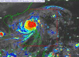
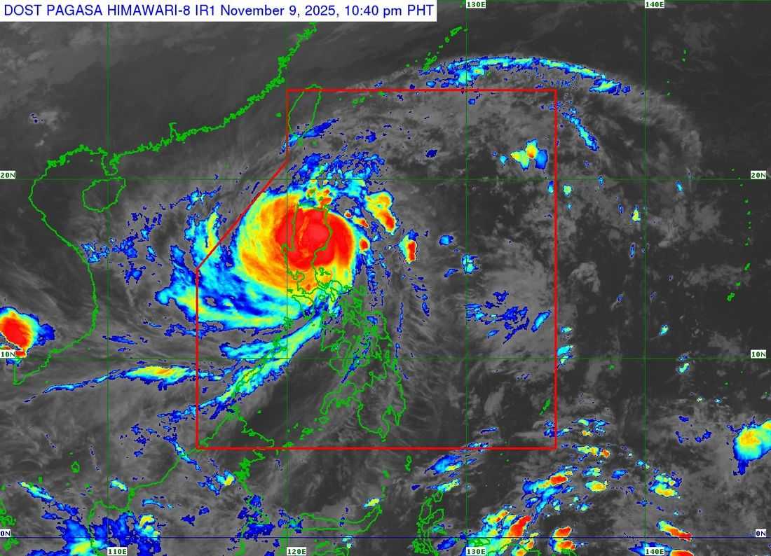
Destructive typhoon-force winds continue to affect Northern and Central Luzon as Super Typhoon Uwan traverses the Luzon landmass.
In 11:00 p.m. weather bulletin, the center of the storm was estimated to be in the vicinity of Kasibu, Nueva Vizcaya, based on readings from Doppler Weather Radars in Benguet, Baler, and Daet.
The typhoon is generating maximum sustained winds of 185 kp/h near the center, with gusts of up to 230 kp/h, and a central pressure of 935 hPa.
It is moving northwestward at 30 kp/h.
Tropical Cyclone Wind Signals 1 to 5 have been raised as Typhoon Uwan continues to affect the region.
"Heavy rainfall, severe winds, and storm surge may still be experienced far from the landfall point or center track, and even in areas outside the forecast confidence cone," PAGASA said.
Super Typhoon Uwan made landfall over Dinalungan, Aurora, at around 9:10 PM on Sunday.
The storm is expected to move across the mountainous terrain of Northern Luzon, emerging over the Lingayen Gulf or the coastal waters of La Union or Ilocos Sur by Monday morning.
"UWAN will begin to turn northwestward to northward from tomorrow to Tuesday (11 November) while remaining at typhoon category. On Wednesday (12 November), UWAN will turn northeastward towards the Taiwan Strait while weakening," said the weather bureau.
Authorities are closely monitoring the system, which is projected to make landfall in western Taiwan on Thursday.