
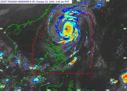
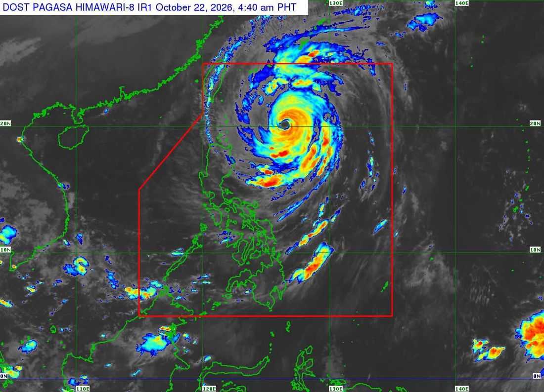
Super Typhoon Rosal has slightly weakened but continues to pose threats to parts of Northern Luzon, with Tropical Cyclone Wind Signal (TCWS) No. 2 raised over Batanes and the northeastern portion of the Babuyan Islands, PAGASA said Thursday, October 22.
In its 5 a.m. Tropical Cyclone Bulletin No. 8, PAGASA said Rosal was located 495 kilometers east of Basco, Batanes, at 4 a.m., packing maximum sustained winds of 195 kilometers per hour (km/h) near the center and gusts of up to 240 km/h.
The tropical cyclone was moving northwestward at 20 km/h, with strong to typhoon-force winds extending up to 780 kilometers from its center.
Under TCWS No. 2, Batanes and the northeastern portion of the Babuyan Islands may experience gale-force winds of 62 to 88 km/h within 24 hours, posing a minor to moderate threat to life and property.
Meanwhile, TCWS No. 1 remains in effect over the rest of the Babuyan Islands, mainland Cagayan, the eastern portion of Isabela, Ilocos Norte and Apayao. These areas may experience strong winds of 39 to 61 km/h within 36 hours.
PAGASA said Wind Signal No. 3 may be raised over Batanes as Rosal approaches Extreme Northern Luzon. However, this is less likely if the tropical cyclone takes a more north-northwestward track.
Very rough seas expected
PAGASA warned of dangerous sea conditions along the northern and eastern seaboards of Luzon due to Rosal and the prevailing northeasterly wind flow.
Wave heights could reach up to 12 meters along the northern and eastern seaboards of Batanes, up to nine meters along the remaining seaboards of Batanes, the Babuyan Islands and the northeastern seaboard of mainland Cagayan.
Waves could also reach up to seven meters along the remaining seaboards of mainland Cagayan and the northern seaboard of Isabela.
The weather bureau said sea travel is risky for all types and tonnage of vessels in affected waters. Mariners were advised to remain in port or seek shelter in a safe harbor until winds and waves subside.
Meanwhile, strong to gale-force wind gusts are expected across most of Luzon and the Visayas on Thursday, as well as parts of Mindanao, including Zamboanga del Norte, Northern Mindanao, Agusan del Norte, Surigao del Norte, Dinagat Islands, Sarangani, Davao Occidental and Davao Oriental.
Rosal to exit PAR by Friday or Saturday
PAGASA said Rosal will continue moving northwestward until Friday morning before turning north-northwestward in the afternoon and recurving north-northeastward by Saturday.
On its forecast track, Rosal is expected to pass closest to Extreme Northern Luzon between Thursday afternoon and Friday morning before exiting the Philippine Area of Responsibility (PAR) by Friday evening or early Saturday.
The tropical cyclone is expected to gradually weaken and may be downgraded to a typhoon within Thursday. By Saturday, it may further weaken into a severe tropical storm.
PAGASA reminded residents in areas vulnerable to flooding, landslides and strong winds to follow the instructions of local authorities and monitor the latest weather advisories.
