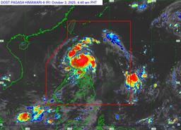
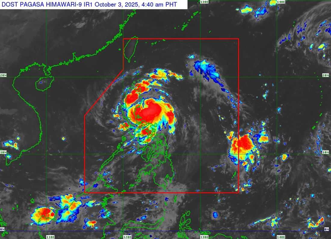
Severe Tropical Storm Paolo (Matmo) has intensified while moving closer to northern Aurora and southern Isabela, the PAGASA reported in its Tropical Cyclone Bulletin No. 11 issued at 5:00 a.m. on Friday.
As of 4:00 a.m., the center of Paolo was located 150 kilometers east of Casiguran, Aurora, moving west-northwestward at 20 km/h.
The storm packs maximum sustained winds of 100 km/h near the center, gusts of up to 125 km/h, and a central pressure of 990 hPa. Strong to storm-force winds extend up to 350 km from its center.
Due to this, PAGASA has issued Tropical Cyclone Wind Signals in Luzon as follows:
-
TCWS No. 3 (storm-force winds, 89–117 km/h, moderate to significant threat to life and property): northern Aurora, central and southern Isabela, northern Quirino, northern Nueva Vizcaya, Mountain Province, Ifugao, parts of Abra, northern Benguet, central and southern Ilocos Sur, northern La Union.
-
TCWS No. 2 (gale-force winds, 62–88 km/h, minor to moderate threat): central and southern mainland Cagayan, remaining areas of Isabela, Quirino, Nueva Vizcaya, central Aurora, northern Nueva Ecija, central and southern Apayao, Kalinga, remaining Abra and Benguet, central and southern Ilocos Norte, remaining Ilocos Sur, remaining La Union, northern Pangasinan.
-
TCWS No. 1 (strong winds, 39–61 km/h, minimal to minor threat): the rest of mainland Cagayan including Babuyan Islands, remaining Aurora, northern Quezon including Polillo Islands, Camarines Norte, northern Camarines Sur, Catanduanes, remaining Apayao, remaining Ilocos Norte, remaining Pangasinan, remaining Nueva Ecija, northern Bulacan, Tarlac, northeastern Pampanga, northern Zambales.
PAGASA said Paolo is expected to make landfall in northern Aurora or southern Isabela this morning or noon.
The storm may intensify into a typhoon before landfall, and after crossing northern Luzon, it will move over the West Philippine Sea and continue west-northwestward until it exits the Philippine Area of Responsibility tomorrow morning, October 4.
The agency also warned of moderate to heavy rainfall, storm surges of 1–3 meters, and very rough seas, urging residents in vulnerable areas to follow local evacuation orders and take necessary precautions.
Mariners are advised to remain in port or seek safe harbor due to high seas and strong winds.