
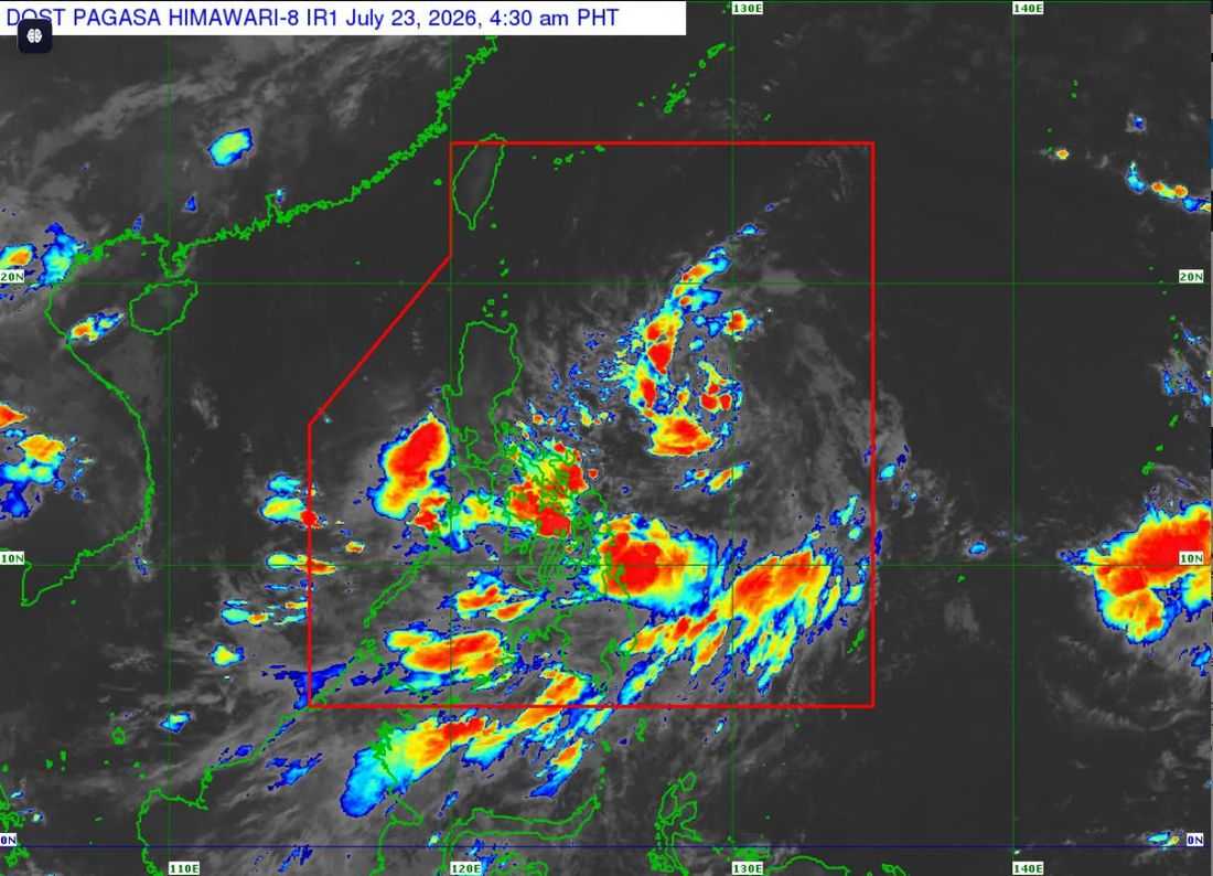
Tropical Cyclone Wind Signal (TCWS) No. 1 has been raised over several areas in Northern Luzon as Tropical Depression Kiyapo continues to move west northwestward over the Philippine Sea and is expected to move closer to Cagayan and the Babuyan Islands, PAGASA said Thursday.
In its 5:00 a.m. tropical cyclone bulletin, the state weather bureau said TCWS No. 1 remains in effect over:
- Batanes
- Cagayan, including the Babuyan Islands
- Isabela
- Apayao
- Abra
- Kalinga
- Eastern and central portions of Mountain Province
- Eastern and central portions of Ifugao
- Ilocos Norte
- Northern portion of Ilocos Sur
- Northern portion of Aurora
Residents in these areas may experience strong winds ranging from 39 to 61 kilometers per hour within the next 36 hours, posing minimal to minor threats to life and property.
As of 4:00 a.m., the center of Tropical Depression Kiyapo was estimated at 950 kilometers east of Central Luzon. It packs maximum sustained winds of 45 km/h, gusts of up to 55 km/h, and is moving west northwestward at 20 km/h.
PAGASA said Kiyapo is forecast to gradually intensify into a tropical storm by Friday while traversing the Philippine Sea.
Based on the forecast track, the cyclone may pass very close to the northeastern portion of mainland Cagayan between Friday morning and afternoon, before passing very close to or making landfall in the vicinity of the Babuyan Islands between Friday afternoon and evening.
The weather bureau said the highest wind signal likely to be raised is TCWS No. 2. However, TCWS No. 3 is not ruled out if Kiyapo strengthens into a severe tropical storm while moving across the Batanes-Babuyan Islands area.
Aside from strong winds, PAGASA warned that Kiyapo and the Southwest Monsoon (Habagat) will bring heavy rains and gusty conditions over several parts of the country. Residents, especially those in flood- and landslide-prone areas, are urged to remain vigilant and monitor the latest weather advisories.
The tropical depression is expected to exit the Philippine Area of Responsibility (PAR) by Saturday morning or noon after crossing Extreme Northern Luzon toward southern China.
