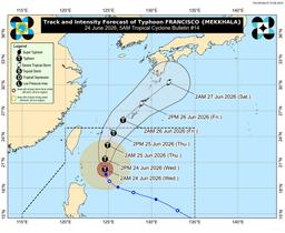
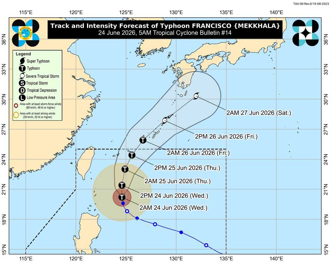
Tropical Cyclone Wind Signal (TCWS) No. 1 remains in effect over Batanes and portions of northeastern Cagayan as Typhoon Francisco continues to weaken while moving northward over the Philippine Sea, according to PAGASA's 5 a.m. bulletin on Wednesday, June 24.
As of 4 a.m., the center of Typhoon Francisco was located approximately 275 kilometers east of Basco, Batanes, packing maximum sustained winds of 155 kilometers per hour near the center and gusts of up to 190 kph.
Under Signal No. 1 are Batanes and the northeastern portion of Cagayan, including the municipalities of Gonzaga and Santa Ana, as well as the Babuyan Islands. PAGASA warned that minimal to minor impacts from strong winds remain possible in these areas.
Despite weakening, Francisco continues to enhance the southwest monsoon or "habagat," bringing strong to gale-force gusts over large portions of Luzon, Visayas, and parts of Mindanao.
On Wednesday, strong winds are expected over most of Luzon and Visayas, including Misamis Occidental, Lanao del Norte, Camiguin, Dinagat Islands, Davao Occidental, and Davao Oriental.
Meanwhile, a Gale Warning remains in effect over the northern and eastern seaboards of Northern Luzon.
PAGASA said very rough seas of up to 4.5 meters may be experienced along the eastern seaboards of Batanes and the Babuyan Islands, as well as the northeastern coast of mainland Cagayan. Sea travel remains risky for all types of vessels, prompting authorities to advise mariners to stay in port or seek shelter until conditions improve.
The weather bureau also warned small sea vessels against venturing into rough waters around Batanes, Babuyan Islands, and Cagayan, where waves may reach up to 3.5 meters.
PAGASA emphasized that while Francisco is forecast to remain far from the Philippine landmass, heavy rainfall, strong winds, and rough sea conditions may still affect areas outside the cyclone's forecast track due to its interaction with the southwest monsoon.
Francisco is expected to continue moving northward until Thursday morning before turning north-northeast toward the Ryukyu Islands and the waters south of mainland Japan.
The typhoon is forecast to exit the Philippine Area of Responsibility (PAR) by Thursday evening or early Friday while gradually weakening, although it is expected to remain a typhoon throughout its stay within the PAR.