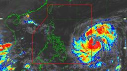
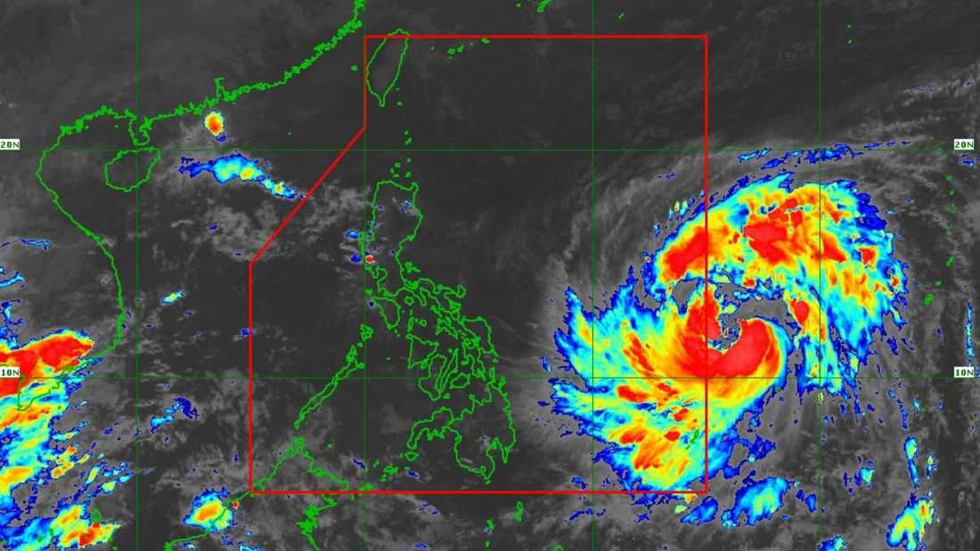
Severe Tropical Storm Fung-wong, which is outside the Philippine Area of Responsibility (PAR), is now named “Uwan” as it nears PAR’s boundary.
PAGASA said on Friday, November 7, that the center of Severe Tropical Storm Uwan was estimated at 1,175 km East of Eastern Visayas. It has maximum sustained winds of 110 km/h near the center, gustiness of up to 135 km/h, and a central pressure of 975 hPa.
It is currently moving westward at 25 km/h.
Meanwhile, Tropical Cyclone Wind Signals (TCWS) No. 1 is in effect in several areas in Luzon, Visayas, and Mindanao.
Based on the state weather bureau’s track and intensity outlook, Uwan will move generally westward in the next 24 hours, then move west-northwestward for most of the forecast period.
Leanne Loreto from PAGASA said in an interview at DZRH Balansyado that Uwan may enter PAR on Friday evening or early Saturday (November 8). It may also reach the super typhoon category by Saturday evening.
“By Sunday evening o early morning, posible itong mag-landfall sa Northern Aurora o sa Southern Isabela at tatawid sa may Central Luzon at magiging typhoon category na laman dahil sa interaksyon sa mga bulubunduking lugar,” Loreto said. Inaasahan natin na makakalabas ito ng PAR pagsapit ng Martes.”
According to PAGASA, Uwan’s passage over Luzon will cause it to significantly weaken. However, it is likely that it will remain a typhoon throughout its passage over the country.