
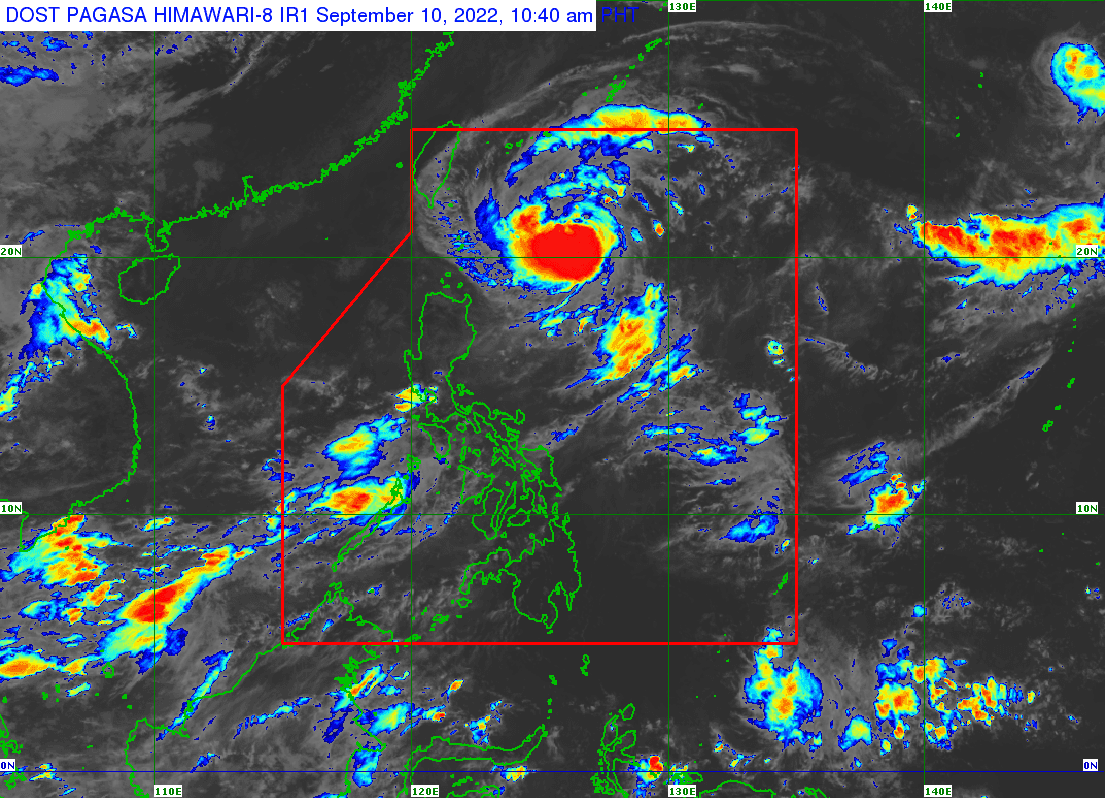
Severe tropical storm Inday has intensified into a Typhoon and its trough will bring rains in different parts of the country, the Philippine Atmospheric, Geophysical and Astronomical Services Administration (PAGASA) said on Saturday.
In its 11 am tropical cyclone bulletin, the state weather bureau said Inday is “less likely to directly bring heavy rains“, but its “trough may bring heavy rainshowers during thunderstorms“ in the eastern section of Southern Luzon and the western portion of Central Luzon.
It added that Inday will enhance the Southwest Monsoon and bring rains over western sections of Southern Luzon and Visayas.
“Further intensification will continue until Sunday or Monday as INDAY tracks northwestward over the Philippine Sea,“ PAGASA said.
Inday was last seen at 430 km East of Basco, Batanes, or 445 km East of Itbayat, Batanes with maximum sustained winds of 120 km/h, gustiness up to 150 kph, and a central pressure of 985 hPa. It is moving northwestward at 15 km/h.
PAGASA’s forecast stated that moderate and rough seas will occur to the seaboards of Batanes and Babuyan Island and these conditions are risky for small seacrafts.
Meanwhile, in its 9:30 am thunderstorm advisory, the state weather bureau said moderate to heavy rainshowers are expected to occur in Tarlac, Nueva Ecija, Laguna, Batangas, Rizal, and Quezon.
Alongside, heavy to intense rainshowers with lightning and strong winds are expected to occur in Metro Manila, Zambales, Pampanga, Bulacan, Cavite, and Bataan.
Typhoon Inday is expected to exit the Philippine Area of Responsibility (PAR) next week by late Tuesday or early Wednesday.
