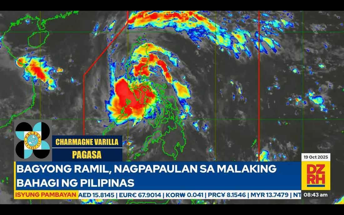
Tropical Storm Ramil (international name: FENGSHEN) continues to move west-northwest and is currently traversing the coastal waters of Mauban, Quezon, according to the 8:00 a.m. bulletin from PAGASA.
The storm packs maximum sustained winds of 55 kilometers per hour near the center and gustiness reaching up to 90 kph, said PAGASA forecaster Charmagne Varilla.
Ramil is expected to track directly across Bulacan and Tarlac, before possibly exiting through the coastal areas of Zambales and Bataan later this afternoon.
The storm may leave the Philippine Area of Responsibility (PAR) by Monday morning or afternoon.
Widespread Wind Signals Raised
Tropical Cyclone Wind Signal (TCWS) No. 2 is raised over the following areas:
-
Southeastern portion of Quirino (Nagtipunan, Maddela, Aglipay)
-
Central and southern portions of Nueva Vizcaya (Alfonso Castañeda, Dupax del Sur, Dupax del Norte, Bambang, Aritao, Kayapa, Santa Fe, Kasibu)
-
Central and southern portions of Benguet (Itogon, Bokod, Atok, Kapangan, Tublay, La Trinidad, Baguio City, Tuba, Sablan)
-
Central and southern portions of La Union (Rosario, Pugo, Tubao, Santo Tomas, Agoo, Aringay, Caba, Naguilian, Burgos, Bagulin, Bauang, City of San Fernando, San Juan, San Gabriel, Bacnotan, Santol, Balaoan, Luna)
-
Pangasinan, Aurora, Nueva Ecija, Bulacan, Tarlac, Pampanga
-
Northern and central portions of Zambales (Santa Cruz, Candelaria, Masinloc, Palauig, Iba, Botolan, Cabangan)
-
Northern portion of Metro Manila (Caloocan City, Quezon City, Valenzuela City, Marikina City, Malabon City, Navotas City)
-
Northern and central portions of Rizal (Rodriguez, San Mateo, Antipolo City, Tanay, Baras)
-
Northern portion of Laguna (Santa Maria, Famy, Siniloan)
-
Northern and eastern portions of Quezon (General Nakar, Calauag, Tagkawayan, Guinayangan, Quezon, Alabat, Perez, Mauban, Real, Infanta, Atimonan, Plaridel, Gumaca, Lopez), including the Polillo Islands
-
Camarines Norte
-
Northwestern portion of Camarines Sur (Del Gallego, Ragay, Lupi, Sipocot)
Meanwhile, Signal No. 1 is up over:
-
Cagayan including Babuyan Islands, Isabela, and the rest of Quirino and Nueva Vizcaya
-
Apayao, Abra, Kalinga, Mountain Province, Ifugao, and the rest of Benguet
-
Ilocos Norte, Ilocos Sur, and the rest of La Union and Zambales
-
Bataan, the rest of Metro Manila, Quezon, Rizal, Laguna, Cavite, and Batangas
-
Occidental Mindoro (including Lubang Islands), Oriental Mindoro, Marinduque, and Romblon
-
The rest of Camarines Sur, Catanduanes, Albay, and central and western portions of Sorsogon (Sorsogon City, Magallanes, Pilar, Castilla, Casiguran, Donsol, Juban, Bulan)
-
Northern portion of Masbate (Aroroy, Baleno, Mandaon), including Ticao and Burias Islands
Heavy Rain and Storm Surge Threats
Aside from strong winds, Ramil is expected to bring widespread heavy rainfall across Luzon. The heaviest rains, ranging from 100 to 200 millimeters, are anticipated over Aurora, Quirino, Nueva Vizcaya, Quezon Province, Marinduque, Mindoro provinces, Aklan, and Antique — raising concerns of flash floods and landslides in high-risk areas.
PAGASA also warns of storm surges up to 1 to 2 meters along the coastal areas of Aurora, Quezon, Camarines Sur, Ilocos Region, Zambales, Bataan, Batangas, Cavite, Marinduque, and Occidental Mindoro within the next 24 hours.
A gale warning is in effect over the eastern and western seaboards of Luzon, with PAGASA advising small sea vessels to avoid sailing due to dangerous sea conditions.
Second Landfall Possible in Quezon
The weather bureau added that Ramil could make another landfall over Quezon Province as it continues to traverse Luzon. Residents are urged to remain alert and coordinate with local disaster authorities for possible evacuations.
“Patuloy ang aming paalala sa mga kababayan sa Luzon na mag-ingat sa malalakas na ulan, posibleng pagbaha at pagguho ng lupa,” PAGASA said in its latest advisory.
Authorities continue to monitor the storm closely as it crosses Central Luzon toward the West Philippine Sea.