
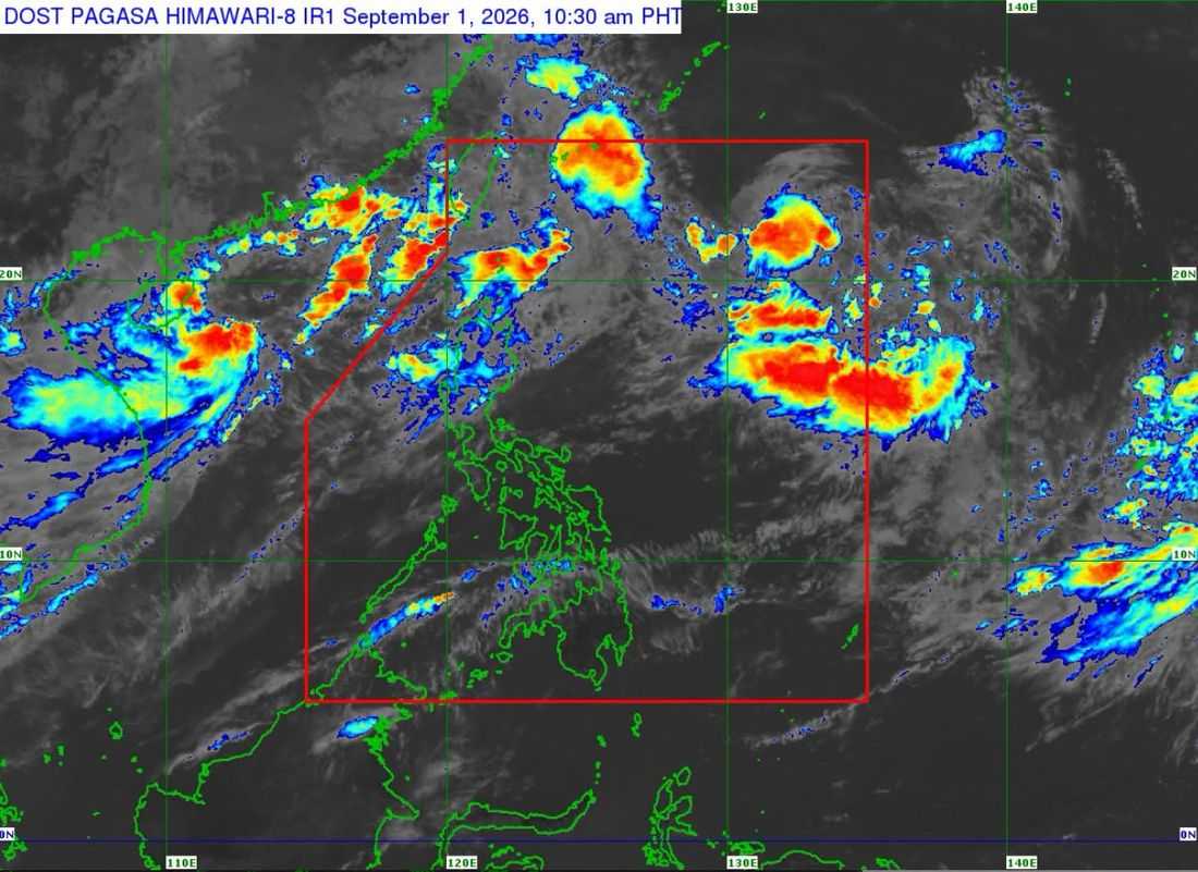
‘Pilandok’ intensified into a tropical storm on Tuesday, September 1, the PAGASA said.
As of 11:00 AM on Tuesday, the center of the tropical storm was located at 1,060 km east of Extreme Northern Luzon. It has maximum sustained winds of 65 km/h near the center, gustiness of up to 80 km/h and central pressure of 998 hPa.
According to the state weather bureau, Pilandok is almost stationary.
No Tropical Cyclone Wind Signals (TCWS) are in effect as of writing.
Pilandok is forecast to slowly turn east northeastward then northward over the next 24 hours. Afterwards, it will move generally north northwestward for the remainder of the forecast period.
The tropical storm may exit the Philippine Area of Responsibility (PAR) on Wednesday (September 2) evening or Thursday (September 3) morning. It is less likely to make landfall over the country and will remain far from the Philippine landmass.
Pilandok is forecast to remain a storm as it moves towards southern Japan, the PAGASA said.
