The Provincial Environment and Natural Resources Office (PENRO) Sarangani is currently conducting a ground validation into the reported coastal uplift along the shores of Glan, Sarangani, the Department of Environment and Natural Resources (DENR) stated on Sunday, June 14.
The coastal uplift is among the effects of the June 8 magnitude 7.8 earthquake that struck the waters off General Santos City.
The Protected Area Management Office of the Sarangani Bay Protected Seascape (PAMO-SBPS) received initial reports from Glan residents on June 10, who said that sea levels have remained low and have not returned to its normal state since the earthquake.
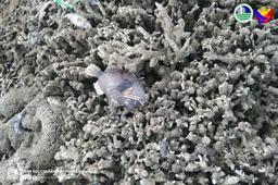
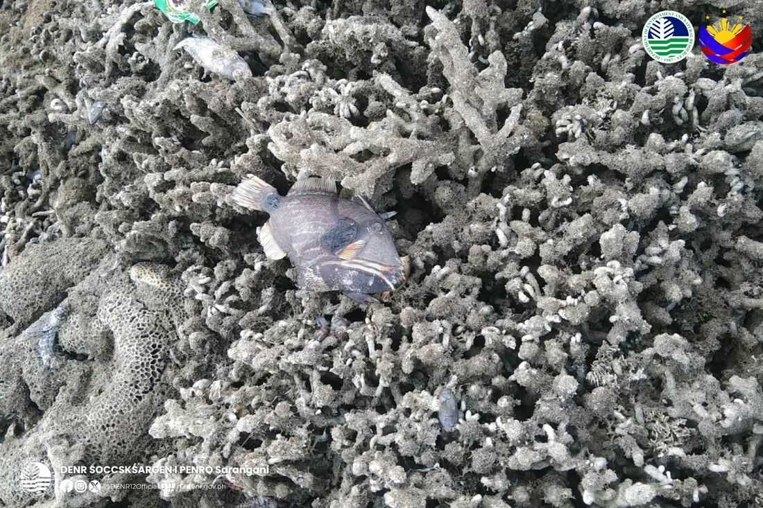
A Community Environment and Natural Resources Office (CENRO) Glan team, with the PAMO Protected Area Rangers found that large expanses of shoreline, coral reef, and seagrass beds have been exposed, especially in Pangyan Marine Sanctuary, Barangay Pangyan.
“These exposed corals and seagrass beds had begun dying off alongside their resident organisms such as reef fishes, eels, clams, and shells. Nearby residents were concerned that the stench of decaying marine life could poison them,” the statement explained.
Later, on June 11, through an aerial survey and ground validation conducted by the Philippine Institute of Volcanology and Seismology (PHIVOLCS) confirmed that the earthquake triggered a 2-meter rise in the seabed, extending the shoreline by 200 meters and exposing massive stretches of coral reefs and seagrass beds previously submerged.
The DENR in Region XII will form a joint team to carry out a scientific study of the Glan coastal uplift on June 16.