
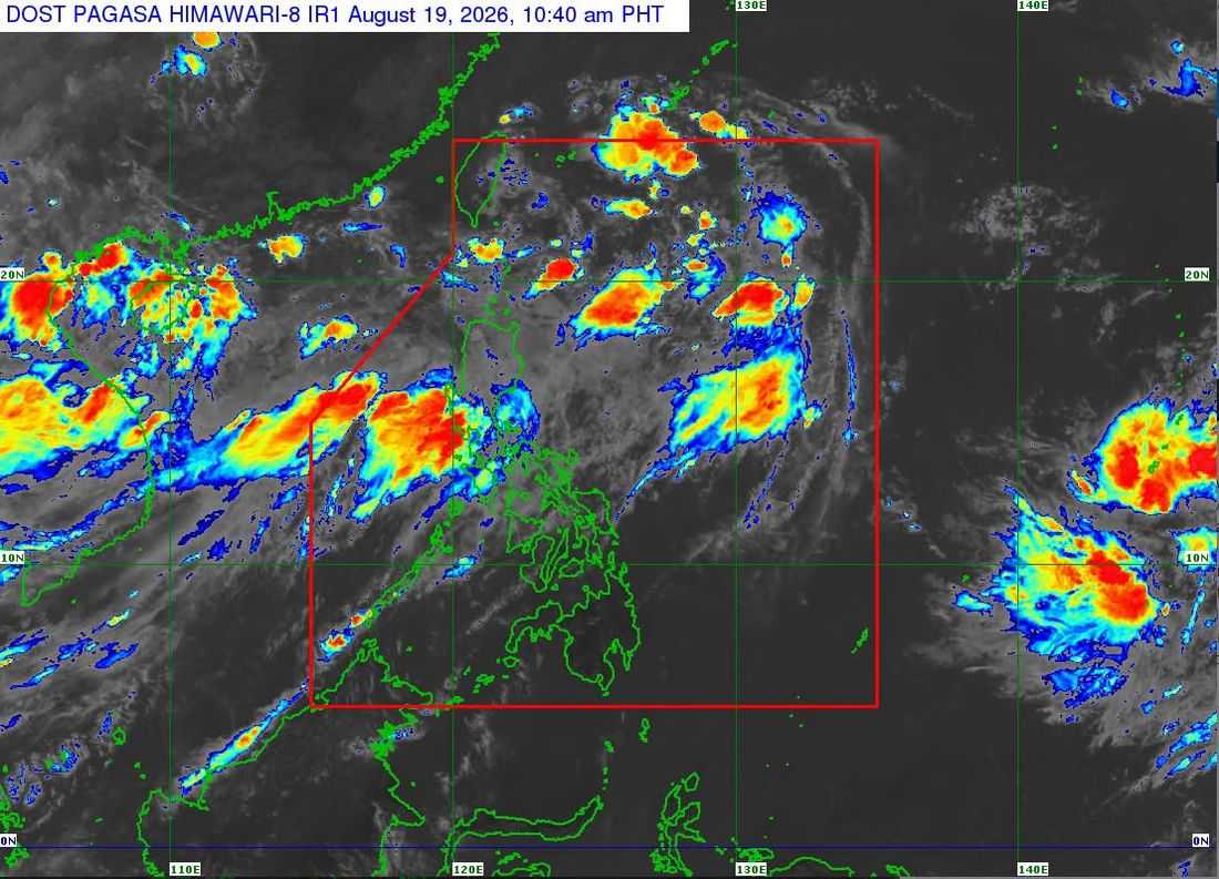
Tropical Depression Neneng maintained its strength as it moved northwestward over the sea east of southern Taiwan, according to PAGASA on Wednesday, August 19.
In its 11 a.m. Tropical Cyclone Bulletin, PAGASA said Neneng was located 530 kilometers east-northeast of Itbayat, Batanes, at 10 a.m.
Neneng has maximum sustained winds of 55 kilometers per hour near the center, with gustiness of up to 70 kph and a central pressure of 1002 hPa. It was moving northwestward at 30 kph, with strong winds extending up to 380 kilometers from its center.
PAGASA said Neneng is expected to move generally west-northwestward and may pass close to or make landfall over the northern coast of Taiwan by Thursday afternoon or evening.
The weather bureau said Neneng is expected to remain a tropical depression over the next 36 hours before weakening into a remnant low over or near Taiwan by Friday morning, although earlier weakening cannot be ruled out.
Meanwhile, PAGASA warned that the southwest monsoon will continue to bring strong to gale-force gusts over most of Luzon and Visayas, the Zamboanga Peninsula, Northern Mindanao, and the Davao Region until Thursday.
For Friday, strong to gale-force winds are expected over most of Luzon, Panay Island, Negros Occidental, Northern Samar, and Davao Oriental.
PAGASA also warned of rough seas, with waves reaching up to 3.5 meters in several coastal areas, including the seaboards of Ilocos Norte, Zambales, and Lubang Islands, as well as the western seaboards of Batanes, Babuyan Islands, Pangasinan, Bataan, and Kalayaan Islands.
Mariners of motorbancas and similarly sized vessels were advised to take precautionary measures and, if possible, avoid sailing under these conditions.
PAGASA emphasized that heavy rainfall and severe winds may still affect areas outside Neneng’s possible landfall point and forecast confidence cone.
