
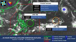
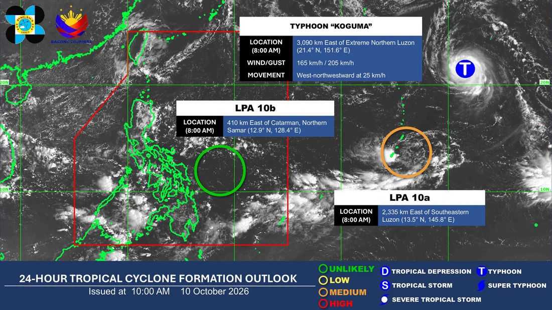
The Philippine Atmospheric, Geophysical and Astronomical Services Administration (PAGASA) is monitoring two low-pressure areas (LPAs) and Typhoon Koguma outside and inside the Philippine Area of Responsibility (PAR), with one of the weather systems having a medium chance of developing into a tropical depression within the next 24 hours.
In its 8 a.m. weather update Saturday, Oct. 10, PAGASA said LPA 10b was inside PAR, about 410 kilometers east of Catarman, Northern Samar. However, it was unlikely to develop into a tropical depression within the next 24 hours.
Another weather disturbance, LPA 10a, was being monitored outside PAR, about 2,335 kilometers east of southeastern Luzon. PAGASA said it had a medium chance of developing into a tropical depression within the same period.
Meanwhile, Typhoon Koguma, which remains outside PAR, was located about 3,090 kilometers east of extreme Northern Luzon at 8 a.m. It had maximum sustained winds of 165 kilometers per hour and gusts of up to 205 kph, moving west-northwestward at 25 kph.
PAGASA continues to monitor the three weather systems for possible changes in their development and movement.
