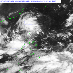
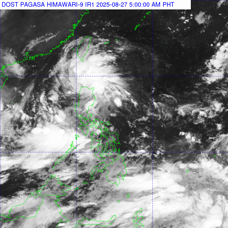
Two Low Pressure Areas (LPAs) are being monitored by PAGASA as of 3 a.m. on Wednesday, August 27.
According to the weather bureau's 4 a.m. bulletin, one LPA is spotted in the vicinity of Patnanungan, Quezon, which has a low chance of developing into a tropical depression. Meanwhile, another LPA was last spotted 200 km west of Dagupan City, Pangasinan, which has a possibility of developing into a tropical depression, says weather forecaster Rhea Torres.
Today, the Southwest Monsoon is affecting Southern Luzon, Visayas, and Mindanao and will bring cloudy skies and rains.
The Southwest Monsoon will bring cloudy skies with scattered rains and thunderstorms to Visayas, MIMAROPA, Bicol Region, Zamboanga Peninsula, and Northern Mindanao.
The rest of Mindanao will also experience partly cloudy to cloudy skies with isolated rain showers or thunderstorms due to the Southwest Monsoon.
Meanwhile, the LPA will bring cloudy skies with scattered rains and thunderstorms across Metro Manila, Ilocos Region, Cagayan Valley, Cordillera Administrative Region, Central Luzon, and CALABARZON.
Forecast: Wind and Coastal Water Conditions
Moderate to strong winds moving west to southwest will be experienced in the western section of Southern Luzon.
The rest of Luzon will have moderate winds moving southwest to southeast.
Visayas and Mindanao will have light to moderate winds moving southwest.