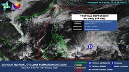
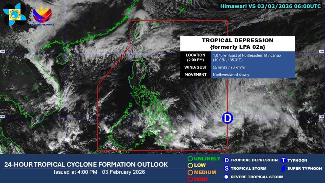
The low pressure area (LPA) being monitored outside the Philippine Area of Responsibility (PAR) has developed into a tropical depression, the PAGASA said.
As of 2:00 PM on Tuesday, February 3, the tropical depression, formerly LPA 02a, was located at 1,075 km East of Northeastern Mindanao. It has maximum sustained winds of 55 km/h near the center and gustiness of 70 km/h.
It is slowly moving northwestward.
According to the state weather bureau, the following areas may experience cloudy skies with scattered rains and thunderstorms brought by the tropical depression:
- Eastern Visayas
- Central Visayas
- Negros Islands Region
- Caraga
- Davao Region
- Northern Mindanao
- Zamboanga Peninsula
Meanwhile, the following areas may experience cloudy skies with rain caused by the northeast monsoon:
- Batanes
- Babuyan Islands
Metro Manila and the rest of Luzon will experience cloudy skies and isolated light rains caused by the northeast monsoon. While the rest of the country will experience partly cloudy skies with isolated rainshowers or thunderstorms.