
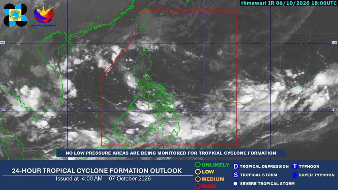
The Intertropical Convergence Zone (ITCZ) continues to affect Palawan, Visayas, and Mindanao, bringing cloudy skies with scattered rain showers and thunderstorms over these areas, according to PAGASA on Wednesday, October 7, 2026.
In its 4 a.m. weather forecast, PAGASA warned that moderate to at times heavy rains may trigger possible flash floods and landslides, particularly in areas affected by thunderstorms.
Meanwhile, Metro Manila and the rest of Luzon are expected to experience partly cloudy to cloudy skies with isolated rain showers or thunderstorms, mainly due to localized thunderstorms. Similar conditions may also bring possible flash floods and landslides during severe thunderstorms.
In Batanes and the Babuyan Islands, cloudy skies with light rains are forecast due to the northeasterly windflow.
Winds over Extreme Northern Luzon will be moderate to strong from the northeast, with coastal waters expected to be moderate to rough, with waves reaching 1.2 to 3.1 meters.
The rest of Luzon and the eastern section of the Visayas may experience light to moderate winds from the northeast to northwest, while the rest of the country will have light to moderate winds from the southwest to west. Coastal waters in these areas are expected to be slight to moderate.
For Metro Manila, PAGASA's forecast indicates a minimum temperature of around 25°C and maximum temperature of 32°C for the day.
PAGASA's weekly outlook also shows that the ITCZ is expected to continue affecting parts of the country through October 7, while the rest of the country generally experiences partly cloudy to cloudy skies with isolated rain showers or thunderstorms.
Residents in areas prone to flooding and landslides are advised to remain alert and monitor PAGASA's latest weather advisories.
