
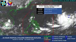
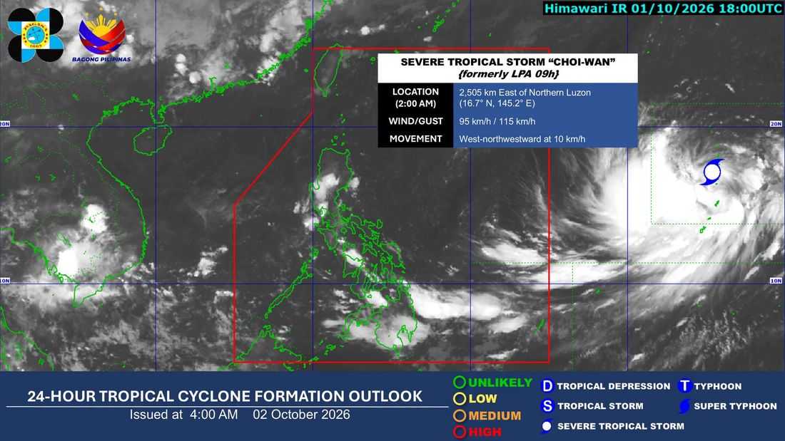
The trough of Severe Tropical Storm Choi-Wan is expected to bring cloudy skies, scattered rains and thunderstorms over parts of the Visayas and Mindanao, according to PAGASA on Friday, October 2.
In its 4 a.m. bulletin, PAGASA said Mindanao, Western Visayas, the Negros Island Region, and Central Visayas will experience cloudy skies with scattered rains and thunderstorms due to the trough of Choi-Wan. These conditions may result in flash floods and landslides, particularly due to moderate to at times heavy rains.
The rest of the Visayas will have partly cloudy to cloudy skies with isolated rainshowers or thunderstorms, also due to the tropical cyclone's trough. Severe thunderstorms may trigger flash floods or landslides in affected areas.
Meanwhile, Metro Manila and the rest of Luzon will generally have partly cloudy to cloudy skies with isolated rainshowers or thunderstorms caused by localized thunderstorms.
As of 3 a.m., PAGASA said Severe Tropical Storm Choi-Wan was outside the Philippine Area of Responsibility, located 2,495 kilometers east of Northern Luzon.
Choi-Wan had maximum sustained winds of 95 kilometers per hour near the center and gustiness of up to 115 kph. It was moving west-northwestward at 10 kph.
PAGASA advised the public to remain alert for possible flash floods and landslides in areas affected by heavy rains and thunderstorms.
