
The Philippine Atmospheric, Geophysical and Astronomical Services Administration (PAGASA) said Wednesday that two to four tropical cyclones are expected to enter or develop within the Philippine Area of Responsibility (PAR) this July, as the country enters the peak of the rainy season.
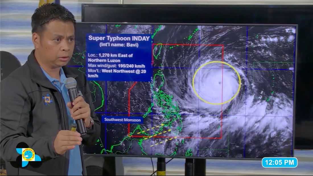
The state weather bureau issued the outlook as Super Typhoon Inday continues to move within PAR, prompting increased public concern over the frequency and timing of incoming storms.
“Kung ilang bagyo, ang forecast natin ay 2 to 4 this July,” PAGASA said in a briefing.
Weather forecasters said they are also monitoring a cloud cluster over the Pacific Ocean that could develop into a low-pressure area (LPA) in the coming days.
“After ng ‘Inday’, may mino-monitor tayong na cloud cluster sa may pacific so posible na ma-develop into low pressure area,” the weather bureau said.
The system remains disorganized but is being closely observed due to its potential to intensify.
PAGASA noted that the possible weather disturbance may follow a track lower than that of Inday, which could affect different parts of the country if it develops further.
However, the agency said it does not provide specific intervals between storms.
“May time na sa isang linggo sunod-sunod yan na dalawa and then maaaring magkakaroon ng break pero ang binibigay nating forecast ay for the whole month. Sa ngayon hindi pa tayo naglalabas sa interval,” PAGASA said.
As of 10 a.m, Wednesday, Super Typhoon Inday was inside PAR after entering at 3 a.m., based on PAGASA’s 5 a.m. bulletin. Tropical Cyclone Wind Signal No. 1 has been raised in parts of Luzon as the storm continues to influence weather conditions.
Authorities urged the public to remain vigilant and monitor official advisories as more weather systems may develop in the coming weeks.
