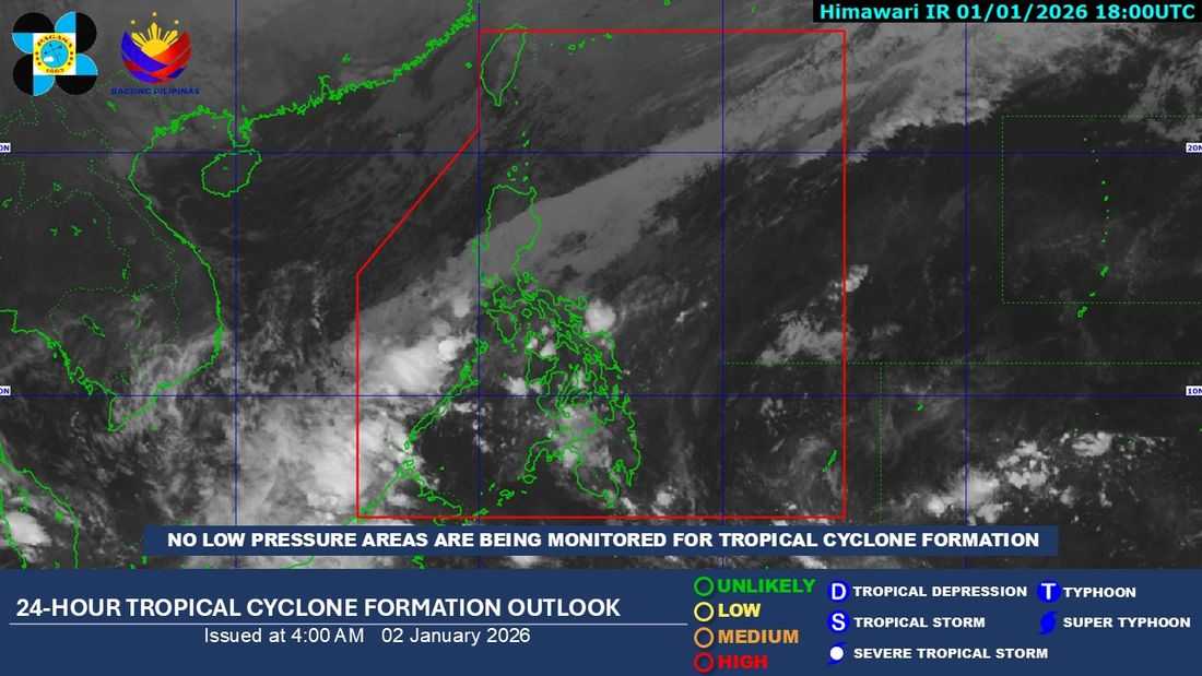
One tropical cyclone may form or enter the Philippine Area of Responsibility (PAR) this January, although it may still veer away from the country, the Philippine Atmospheric, Geophysical and Astronomical Services Administration (PAGASA) said.
According to PAGASA, the potential weather system, if it develops, could make landfall in Eastern Visayas or the Caraga region. However, there is also a chance that it will not directly affect the Philippines. As of now, no tropical cyclone or weather disturbance is being monitored inside or outside the PAR.
Meanwhile, DOST-PAGASA weather specialist Charmagne Varilla said during the DZRH program Dos Por Dos that a shear line continues to affect the southern part of Luzon.
This weather system is bringing rainfall to Western Visayas, Albay, Sorsogon, Masbate, Romblon, Palawan, and Northern Samar.
The northeast monsoon, or amihan, is also affecting Northern and Central Luzon, causing rainy conditions over Metro Manila, the Cordillera Administrative Region, Cagayan, Central Luzon, CALABARZON, and parts of MIMAROPA and the Bicol Region.
Varilla added that easterlies are influencing the remaining parts of the country, resulting in scattered rains accompanied by thunderstorms.
PAGASA expects rainfall to gradually decrease by tomorrow, with improved weather conditions likely by the third day or by Sunday.
The rains experienced on Thursday were mainly caused by the shear line, which occurs when two different air masses collide, affecting Metro Manila and other parts of CALABARZON.