
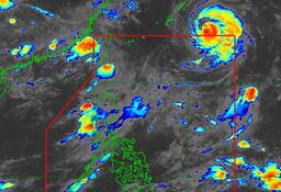
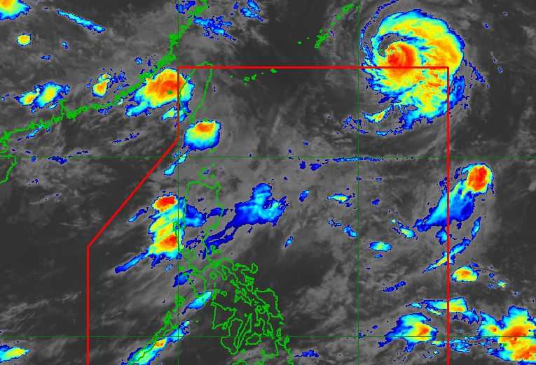
Typhoon Obet, with the international name Saudel, exited the Philippine Area of Responsibility (PAR) at 9:30 pm on Monday, August 24, but may continue to enhance the southwest monsoon or Habagat over parts of Luzon, the state weather bureau said Tuesday.
In its 5 a.m. weather forecast, two tropical cyclones and a Low Pressure Area (LPA) outside the PAR are being monitored by the Philippine Atmospheric, Geophysical and Astronomical Services Administration (PAGASA).
PAGASA said Obet was last located at 3 a.m. about 1,180 kilometers east-northeast of extreme Northern Luzon. It was packing maximum sustained winds of 150 kilometers per hour near the center and gusts of up to 185 kph.
The typhoon was moving west-northwest at 25 kph and was expected to continue moving north of the PAR.
PAGASA said Obet’s movement could draw in the southwest monsoon, potentially bringing more rains to parts of Luzon.
“Sa pagkilos nga niya [Obet] sa ating hilaga ay posibleng makahatak pa ito ng southwest monsoon o Habagat,” PAGASA said.
Meanwhile, PAGASA is also monitoring Tropical Depression Atsani, which was located about 1,760 kilometers east of Northern Luzon as of 3 a.m.
Atsani was carrying maximum sustained winds of 55 kph near the center and gusts of up to 70 kph. It was moving northward at 30 kph.
Because Atsani is near the boundary of the PAR, PAGASA said it has not ruled out the possibility of the tropical depression entering the country’s area of responsibility.
The weather bureau is also monitoring a low pressure area that was previously Tropical Depression Neneng. As of 3 a.m., it was located about 670 kilometers northwest of Itbayat, Batanes.
PAGASA said the southwest monsoon would continue to affect Luzon, bringing cloudy skies and scattered rains to several areas.
The Ilocos Region, Cordillera Administrative Region (CAR), Cagayan Valley, Central Luzon, Metro Manila, Cavite, Batangas and Rizal may experience cloudy weather with scattered rain showers and thunderstorms. Stronger rains are possible over the western sections of Central and Northern Luzon.
The rest of Luzon may experience partly cloudy to cloudy skies with chances of localized thunderstorms.
PAGASA said the Habagat is expected to continue affecting a large portion of Luzon in the coming days, although its effects may weaken by around August 29.
However, the weather bureau cautioned that the forecast could still change over the next three to five days and urged the public to monitor its latest advisories.
Meanwhile, areas in the Visayas and Mindanao that are not directly affected by the southwest monsoon may experience partly cloudy to cloudy skies with chances of thunderstorms.
PAGASA also warned of hot and humid conditions from morning until noon in these areas, with a higher chance of thunderstorms in the afternoon.
