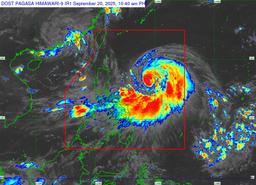
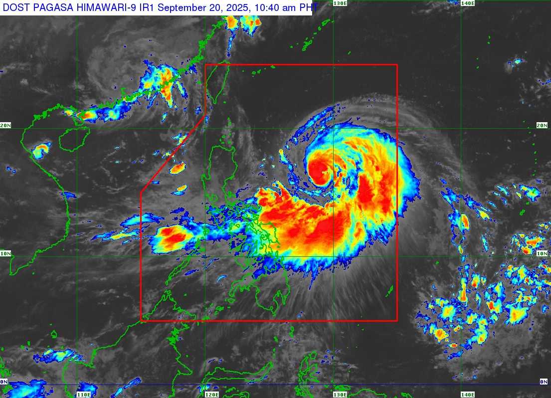
Severe Tropical Storm #NandoPH has rapidly intensified into a typhoon, according to the Philippine Atmospheric, Geophysical and Astronomical Services Administration (PAGASA) on Saturday, September 20.
In its 11 a.m. bulletin update, the state weather bureau reported that "Nando" rapidly intensified while moving west-northwestward at 10 km/h.
The typhoon was last spotted 775 kilometers east of Casiguran, Aurora. It now packs maximum sustained winds of 120 km/h and gustiness reaching up to 150 km/h.
PAGASA also warned that Nando will enhance the habagat or southwest monsoon as it approaches landmass, bringing possible heavy rains over parts of Luzon.
"Wind Signal No. 1 will be hoisted over Northern Luzon and the eastern portion of Central Luzon this afternoon, and the highest Wind Signal that may be hoisted throughout its passage is Wind Signal No. 5," the bureau stated.
As of this writing, no storm signal were raised.
PAGASA said Nando may either pass close to or make landfall over Batanes or the Babuyan Islands by Monday, September 22. The system is expected to exit the PAR by Tuesday, September 23.